We have a long drive today from Sudbury to Lake Superior Provincial Park. The park has numerous trails to choose from, especially one that goes to the Ojibwe pictographs. However that trail is listed as difficult so not doing that one.
I should mention that most of the hotels I booked with Airmiles are 2 star. Generally that’s fine and the customer service is great. But the WiFi is usually low so it takes a long to prepare these blog posts. I will probably get behind – but I will catch up.
“Chief Totomenai of Michipicoten First Nation signed the Robinson-Superior Treaty in 1850 thus establishing Gros Cap Indian Reserve #49. After numerous boundary discrepancies and land acquisitions for mining and transportation interests, Michipicoten was one of the first Bands in Canada to sign a land settlement agreement in 2003.”
Ojibway word Wawungonk – original name given to Wawa Lake translates to “place of clear water” or “hills covered in clear snow”
One of the reasons I booked the Best Western Downtown in Sudbury was it was right next to Memorial Park. I just had to carry Greta across the road, plump her down, and off she went to do her business. However, the park is frequented by the disenfranchised. They were having a party on Saturday at one end. What is ironic is that the Sudbury Police Headquarters are located next to the park so there are police cars often going by.
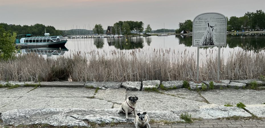
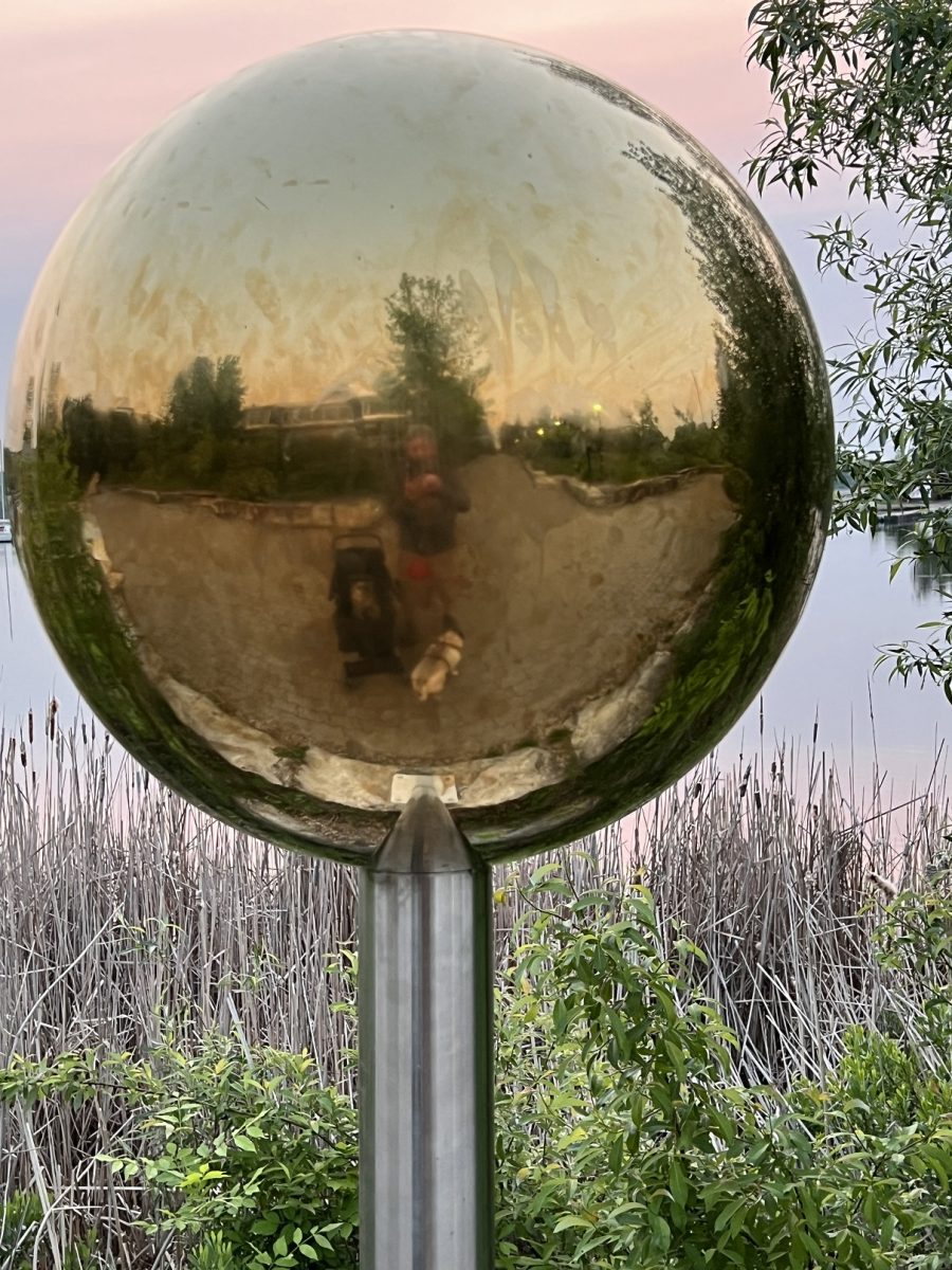
Sudbury has a wonderful waterfront trail called the Jim Gordon Walkway which I decided where to do our morning walk. The trail goes through Bell park. The park is named for William J. Bell, an early lumber baron in the city whose former Belrock mansion is also the site of the Art Gallery of Sudbury. The park is part of his estate land, donated to the city by him upon his death.
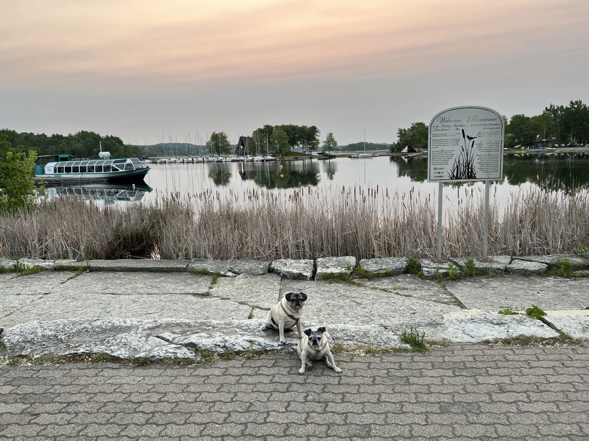
Jim Gordon is a former mayor who was instrumental in setting up the boardwalk. With the park on one side and Ramsey Lake on the other, it is great for an early morning dog walk. Recently, federal funding was provided to upkeep the trails and paths. Greta enjoyed the morning view from her stroller thanks to the upgrades
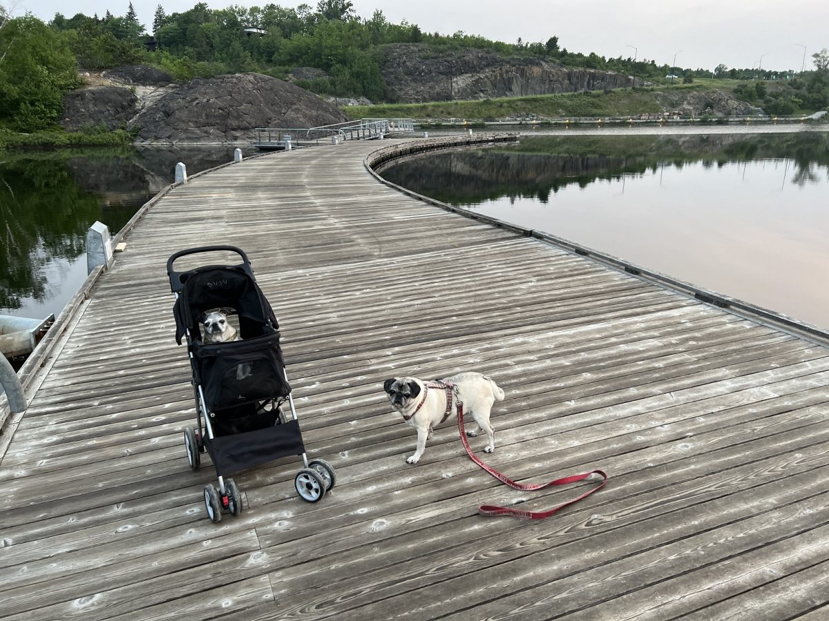
The boardwalk has a Solar System theme. It starts with the Sun and, as you walk the boardwalk, there are posters for each planet.
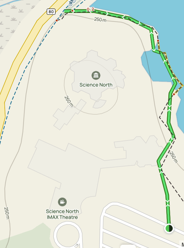
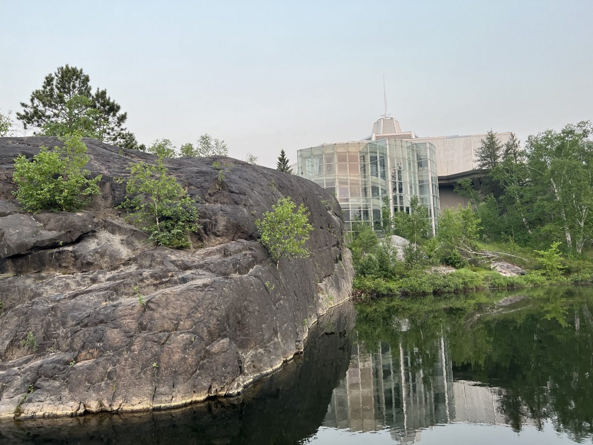
The scenery comprises water, wood and rock. Here is the Science North centre. I would come back for a long weekend just to spend a full day at both Dynamic Earth and Science North.
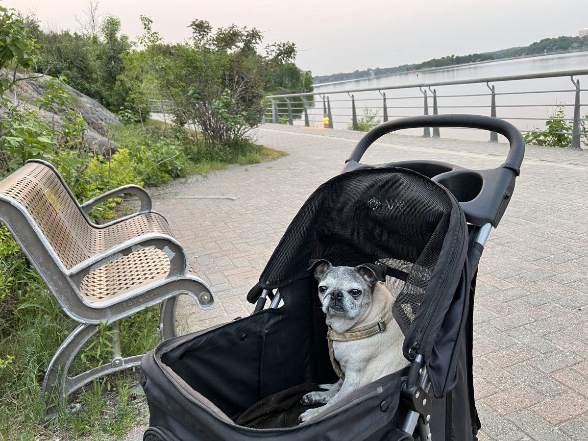
There was no one else around. We stopped at a bench in some lilac trees, watched the water and contemplated life (at least I think that is what Greta was doing).
It was going to be a very long drive so I skipped the hotel breakfast. I would stop at a Tim Horton’s once I was out of the city. Meanwhile, there is Ojibway culture around us and wanted to share this:
“The Ojibway Creation story tells how the Ojibwe or Ojibway (pronounced Oh-Jib-Way) are related to Original Man or Anishinaabe (An-ish-in-awb). The Ojibway are said to be the Faith Keepers; Keepers of the Sacred Scrolls and the Water Drum of the Midewinwin (Midi-win-win shamanic society for healers). The fundamental essence of Anishinaabe life is unity, the oneness of all things; the belief that harmony with all created things can be achieved and that the people cannot be separated from the land with its cycle of seasons or from the other mysterious cycles of living things – of birth and growth and death and new birth. The people know where they come from; the story is deep in their hearts and it is told in legends and dances, in dreams and symbols.”
We stopped at the Saul Ste Marie Arboretum for a pee break. It is maintained by the Great Lakes Forestry Centre. They have this great interactive map where you can walk up to a tree and find out all about it on your mobile device. Here it is.
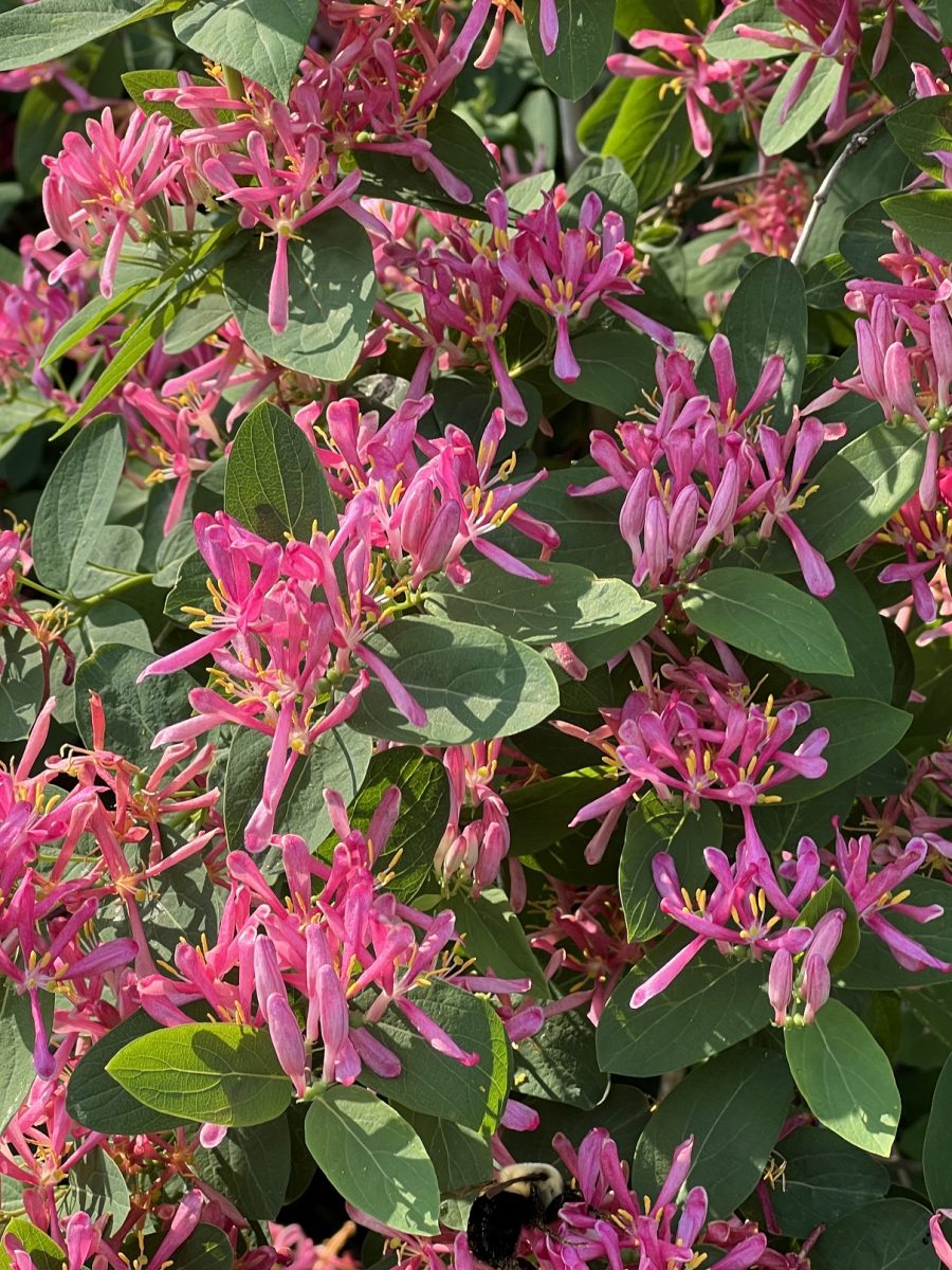
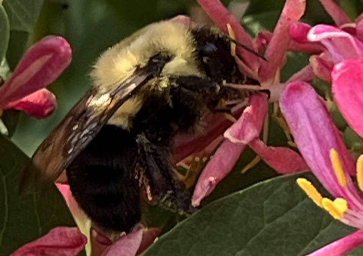
I was looking at these flowers when a huge bumble bee flew by me and landed on them, right at eye level. It’s like he was posing for the camera.
From there we headed to the huge Lake Superior Provincial Park – home to a long tradition of Indigenous culture.
“From archeological sites excavated at the mouth of the Michipicoten River it is evident that there has been an uninterrupted occupation of this region by the aboriginal people for 7,000 years or more. Some of the sites identified are from the period just before the arrival of the Europeans (between 700-1500 AD) which showed that the Ojibway people whose “summer grounds” were located at the mouth of the Michipicoten River used to marry widely with tribes from the south of the Lake and east of it. The ancient canoe routes also showed that the mouth of the Michipicoten River and Magpie Rivers were a hub of transportation and gateways to the interior as far north as James Bay with access to the vast interior of what is today northern Ontario and connecting it with the other Great Lakes and the inland sea of Hudson’s Bay.”
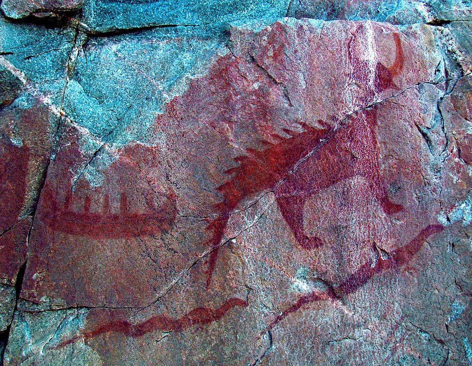
“At Agawa Rock, near the mouth of the Agawa River, there are pictographs created by the early Ojibwe people of this region. The figures are painted on the rock with a mixture of powdered hematite and animal fats and are estimated to be 150–400 years old. The records are visual representations of both historical events and legendary figures.” Wikipedia
There was the Aloma Bay lookout. However I didn’t bother taking a picture. I couldn’t see Lake Superior because of the forest fire smoke. I remember in 2019 being overwhelmed by the beauty. But today, it is just cloud cover.
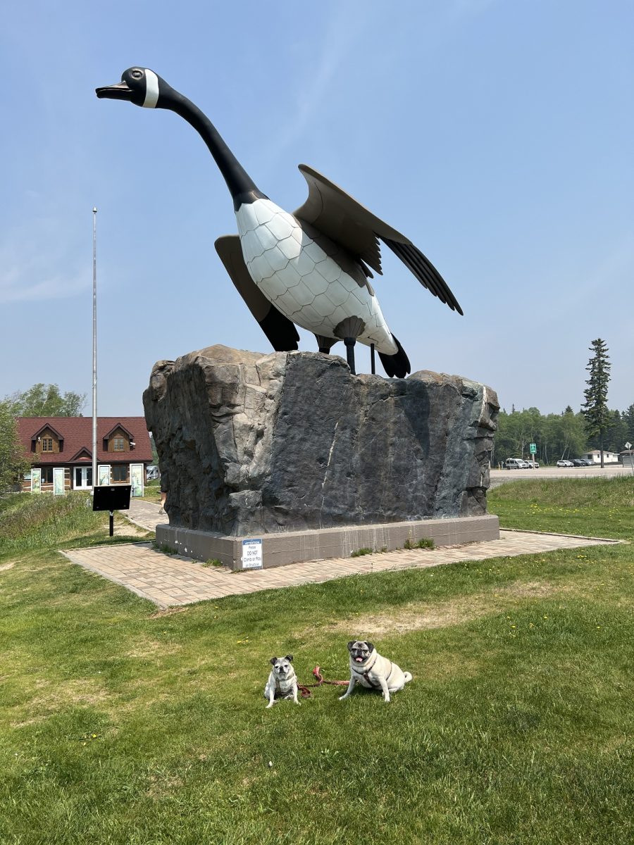
Before setting up our campsite, we head to Wawa for lunch and pick up something for dinner. We stopped so Greta could get a photo with the goose. I took it on the opposite side of the one I took of Raisin and Eve in 2019 – just so Greta would feel special.
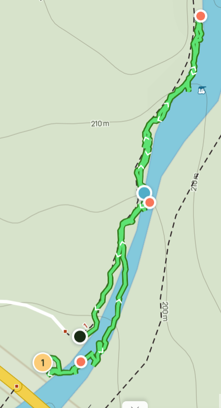
Pinguisibi Trail (Sand River) is a 6 km linear easy trail with access on Highway 17 at Sand River. Numerous small waterfalls along the river and panoramic views.
It takes about 3 hours to go back and out again. We did 1/2 hour in and back. The walking stick proved invaluable with all those rocks.

Pinguisibi is the Ojibwa name for the Sand River (pingui – “fine white sand”; sibi – “river”). The Sand River was a route used by the ancient Ojibwa, who lived on the East Shore of Lake Superior, for at least 2,000 years as they traveled between their winter camp inland and their summer camp near the shore.
We had some time so on the way back from Sand River, we stopped at the Dog Beach at Agawa Bay South campground. Whereas the human beach has a nice, sandy shoreline, the dog beach has large pebbles. Plus I had to climb down (and back up) two sand embankments. But there was a nice area with a small stream. We were able to enjoy the view of the fire smoke filled space above Lake Superior
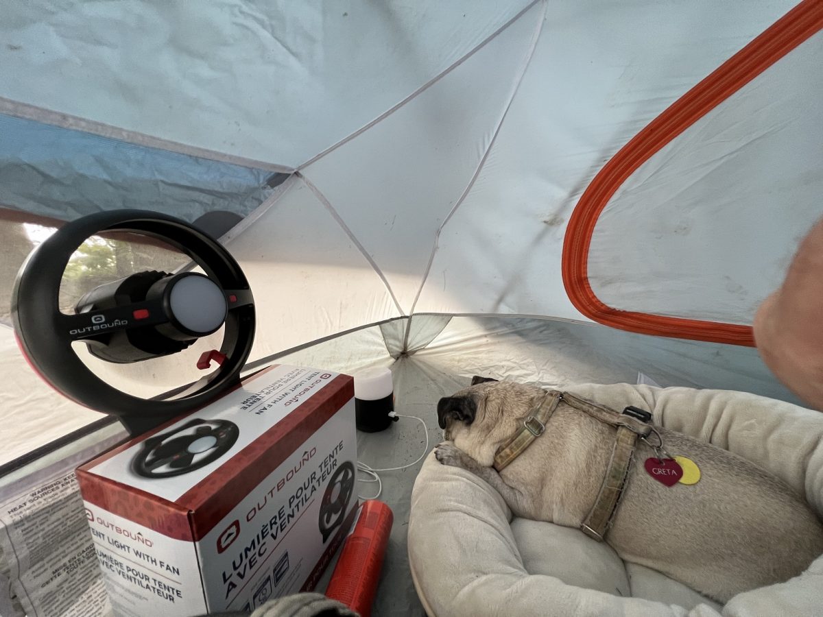
Couple of things about the park – there is a water advisory. Water needs to be boiled before drinking. I got spring water in Wawa when I was there. However, there is a “no fire” stipulation in the park due to fire hazard. So, unless you have a portable stove, kind of hard to boil water without a fire.
We cuddled in for the night. It was hot in the tent so I had the fan going. During the night the temperature dropped. Eve woke me up in order to get under the sleeping bag. And I covered Greta up. They slept through to 5 am when I got ready for the long drive to Thunder Bay.
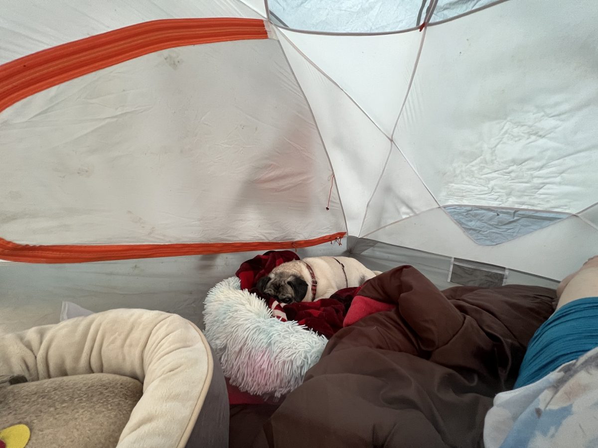
Very informative blog Larry. Your girls are so good about posing for their photos. 🙂 I love how you took Greta’s photo on the other side of the goose to make her feel special. You all looked very comfy in the tent.
Thanks Denise for following along. I have some special adventures planned – you are in for a treat. I’ve noticed Greta is getting more comfortable with people. Just check out the photo at Fort William with her and the indigenous woman.