I realized something after exploring this castle. In order to NOT see it as just a bunch of rock, you need to understand the history and culture of the place. That is my takeaway from this trip.
As I walked through the area, I imagined what it must have been like 500-800 years ago. I’ll try to capture that in today’s post.
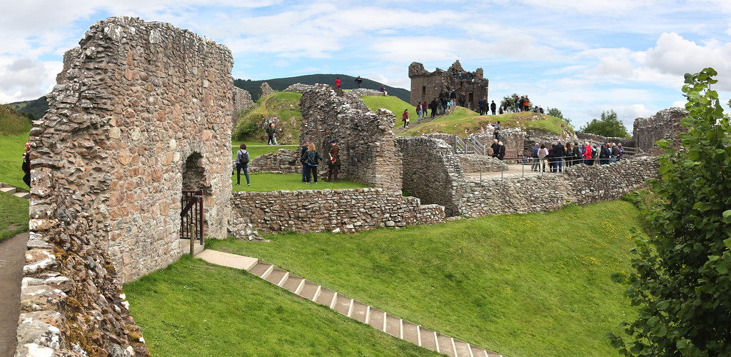
Urquhart Castle is located on the north west shore of Loch Ness. It was a short bus ride to the fortress.
It was a beautiful day to view the grounds, castle and lake. Sunshine, puffy white clouds and a slight wind. It was not crowded like Edinburgh Castle. And it was certainly different than Scone Palace. There were plenty of information signs to give a visitor an idea of life in the castle. They had QR codes that you could scan and see a video. Unfortunately there was no cell reception so I could not load the videos.
To the right is the summit and is the oldest part of the castle. There was most likely a Pict hillside fort located here around 500 AD. With the advantage of a high hill and access to the lake, it would become a focal point in Scottish history.
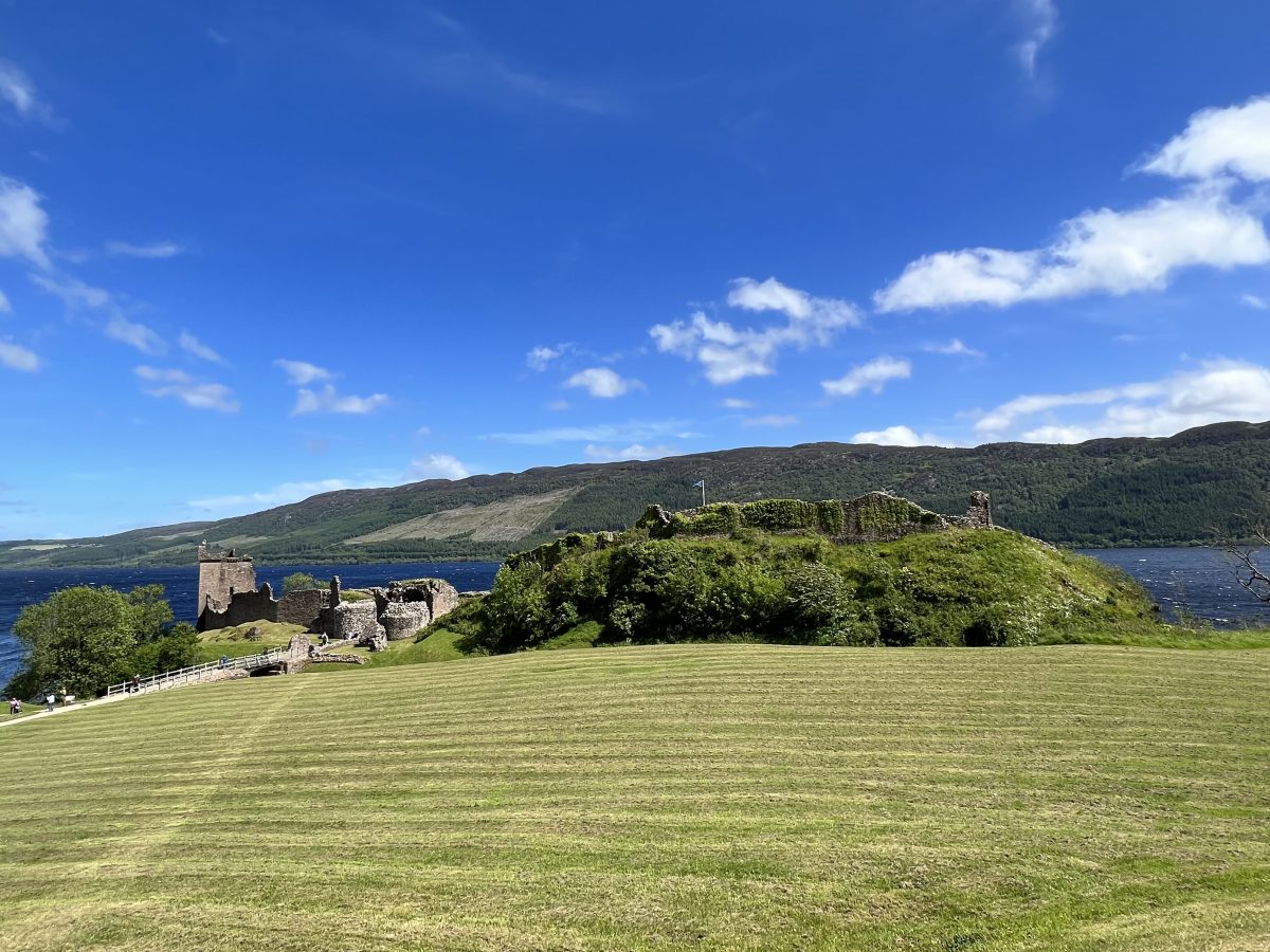
The earliest recorded account of Urquhart was around 1240 with Sir Alan Durward when the first stone fort was built.
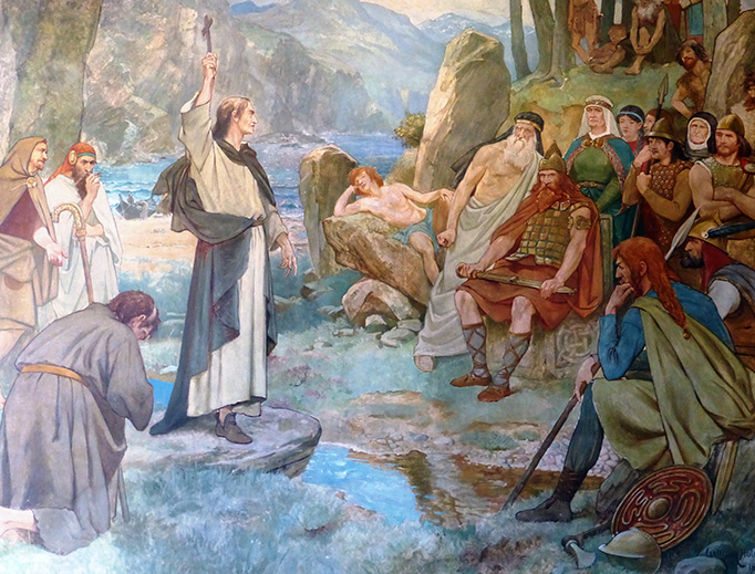
Of course, we are next to Loch Ness so there must have been some record of a monster siting? Yes, in the Book of Kells (and told by our coach driver, Colin). Accordingly, around 500 AD, St. Columba was on his way to Inverness. The Picts at Urquhart were having a funeral because one of their tribe had been bitten by a huge water beast. He told a monk to swim the Loch to get a boat. The monk had jumped in the water and started swimming. This alerted the Loch Ness Monster. Nellie was swimming to the monk when St. Columba order the monster to go no further, to not touch the monk. Nellie went back into the waters, her tail between her legs. The Picts were so impressed they all converted on the spot.

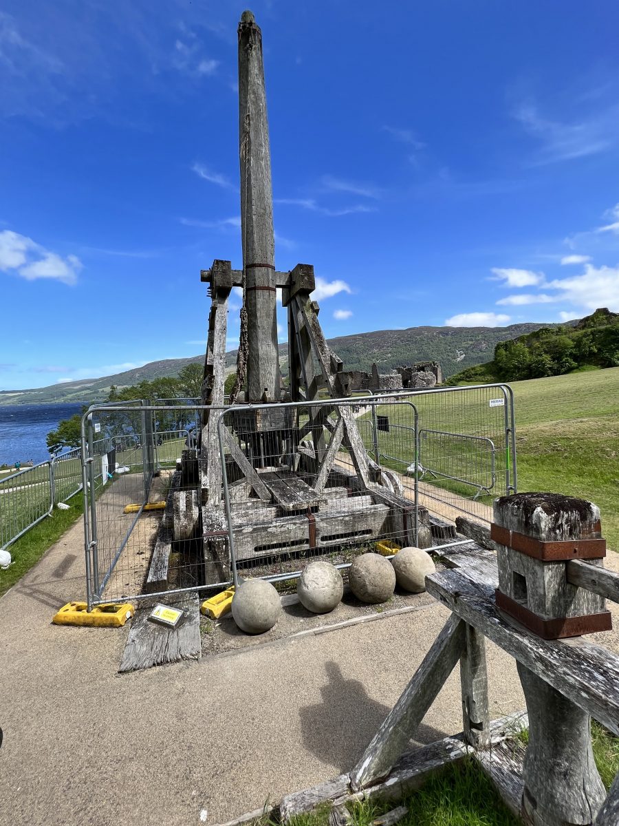
In 1296, Edward I invades Scotland and captures Urquhart Castle. It now belongs to the English. Later Robert the Bruce would get it back for the Scots.


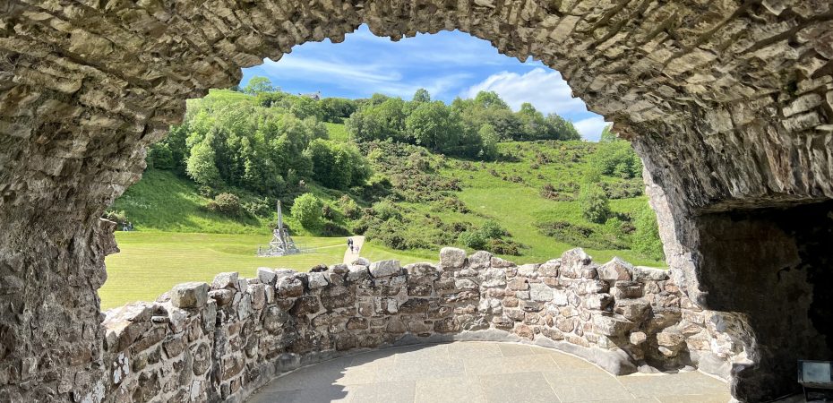
On display is a Trebuchet, most likely used by Edward to capture the castle. It was catapult that hurled huge stones. Several roughly hewed stones have been found at Urquhart. The balls are thrown using the motion of a heavy counterweight. A television crew built 2 life size trebuchets for a program, one of which is seen here.

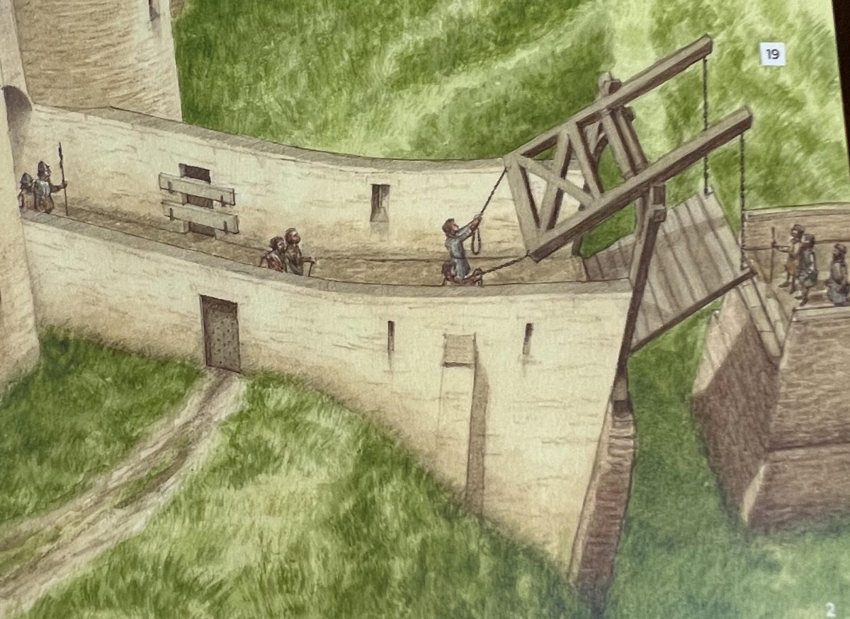
The drawbridge, causeway and ditch are the first things encountered as I head down. The ditch was dug out of solid rock and would make it difficult for an attacking army from land. It’s a really nice shade of green.
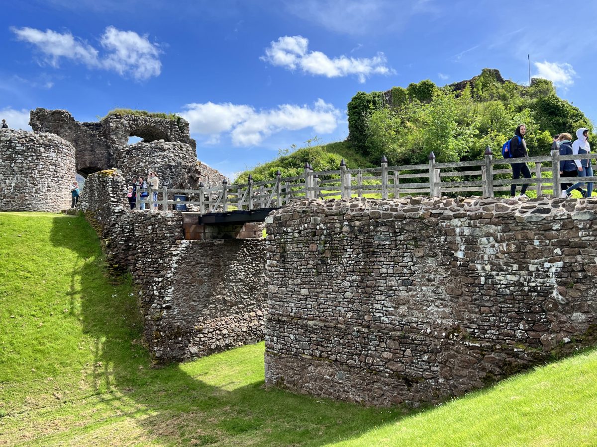

And what are you going to do with all that solid rock? Make a causeway to get across. The causeway was wide enough to allow carts to pass. The causeway would have a drawbridge to allow access across and to the Gatehouse. In the present day structure you can see the stone buttresses that go from the causeway down to the ditch. These were used to support the lifting of the bridge.

The Gatehouse was the defending entry point. The porticullis was the big iron gate that dropped down to keep intruders out. This photo is looking up where the porticullis would be pulled up to during the day.
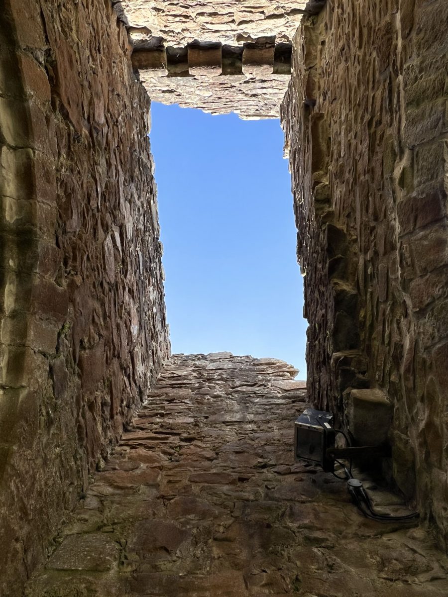

After the porticullis was a small area then the wooden barrier. The small area would be where the intruders would be trapped and shot at from the murder holes located in a room above the wooden barrier. Above them would be the Keeper’s Lodge.
Acutally, none of the families who inherited Urquhart Castle, lived there. It was run by an appointed Keeper. In addition to the day to day activities, the keeper was responsible for maintaining a garrison and defending the castle. This photo is where the Keeper’s Lodge would be – overlooking the Gatehouse.
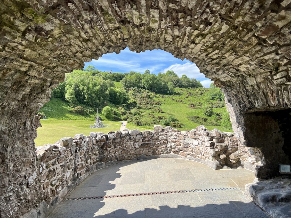

The opposite side of the Keeper’s Lodge.
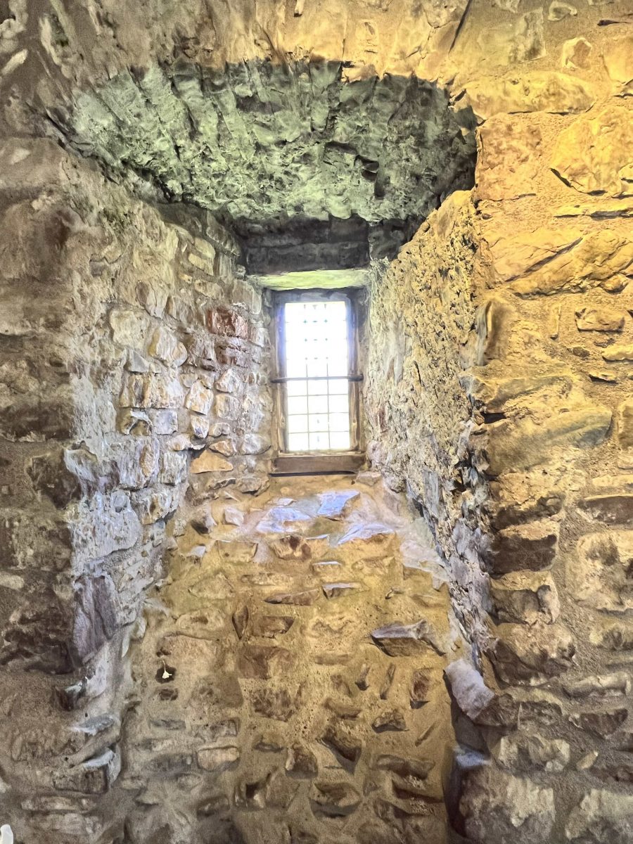

And, just outside the Keeper’s Lodge is the latrine.
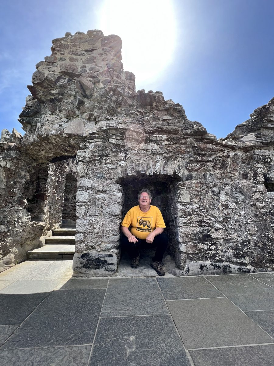

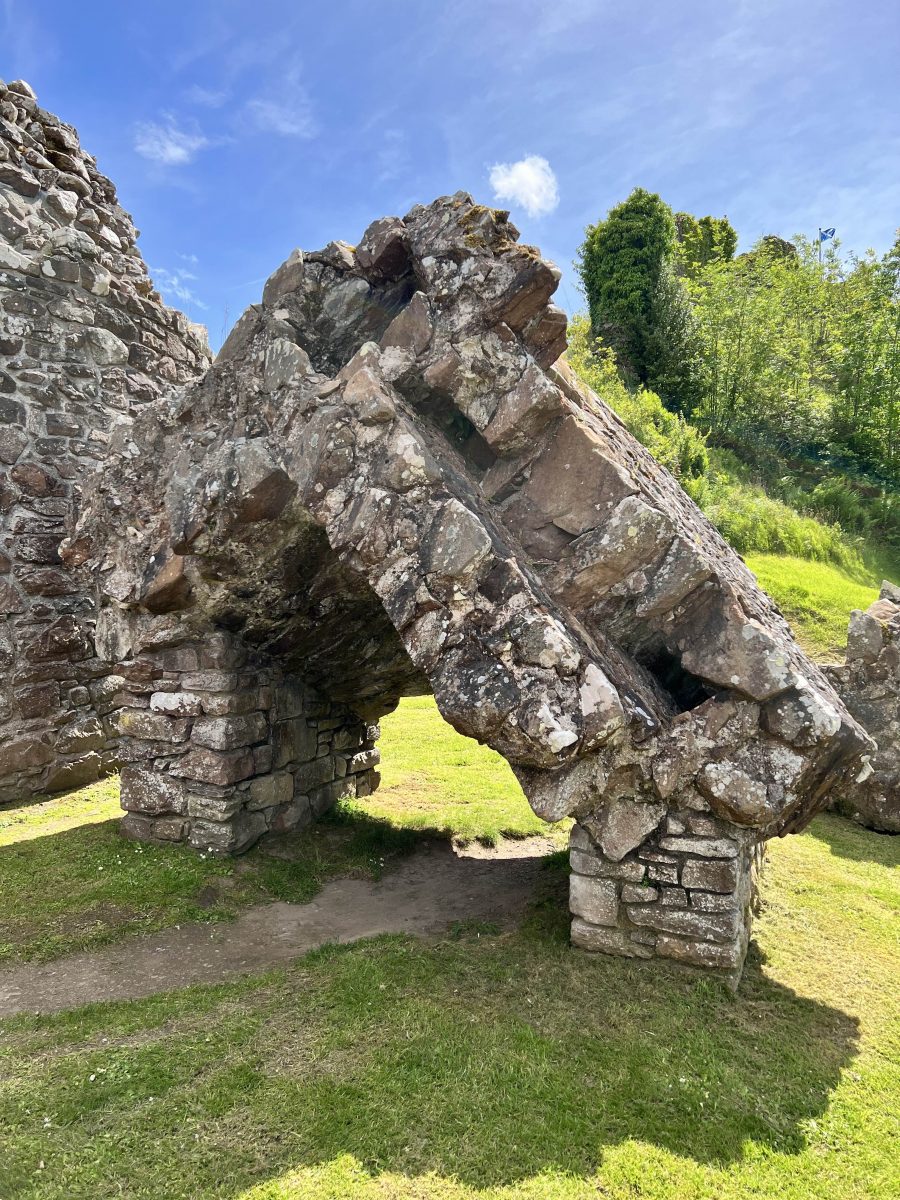
At some point, someone blew up the gatehouse. Here is a remnant of the explosion. The castle was abandoned sometime in the late 1690s. The local townsfolk came and grabbed what they could – roofing, lumber, metal. Restoration and excavation began in 1912.

Facing the loch in the Summit area is the Great Hall. It was a living space, eating area, social funcitons, administration and dispensing justice. Only the basement survives today.
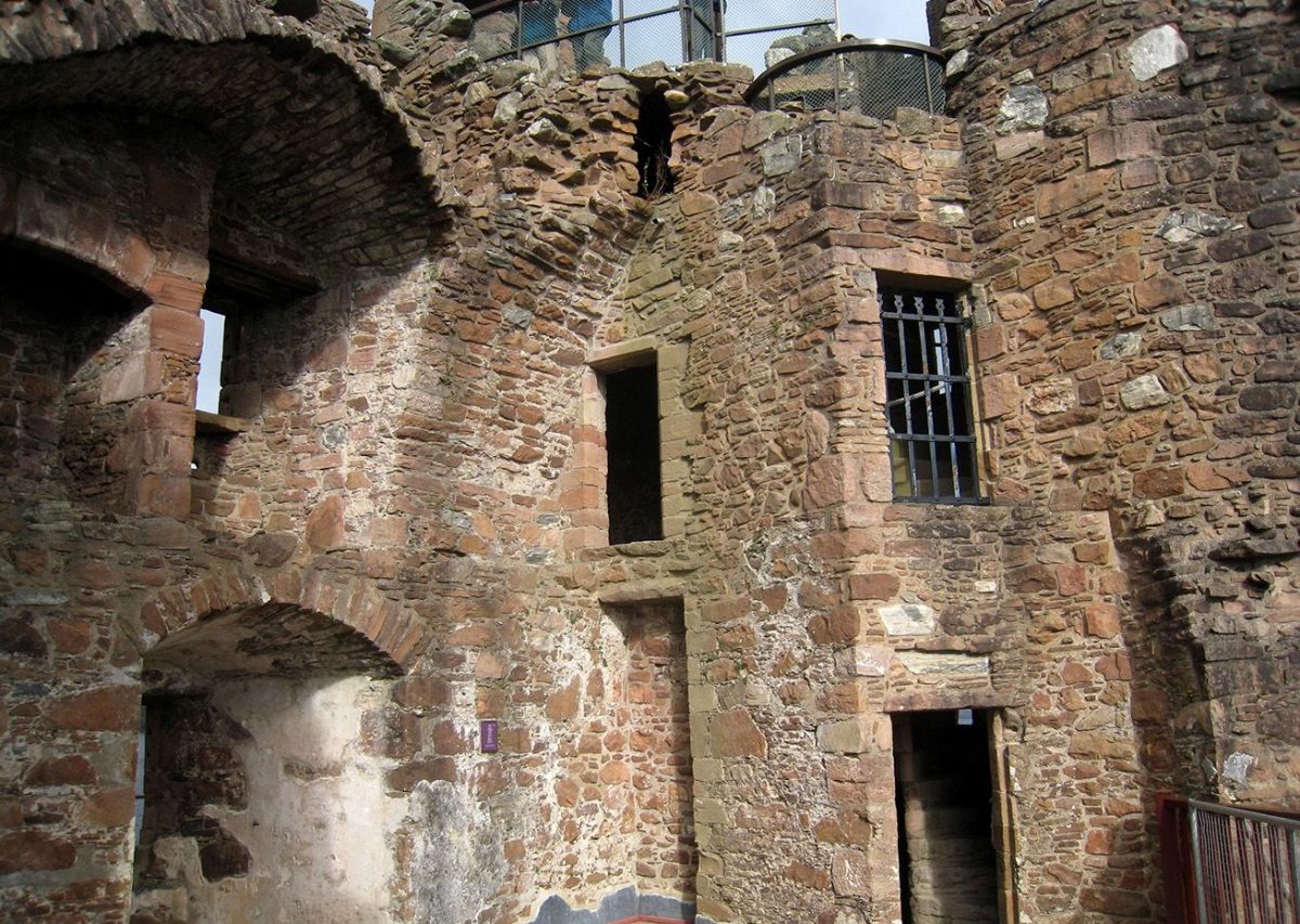

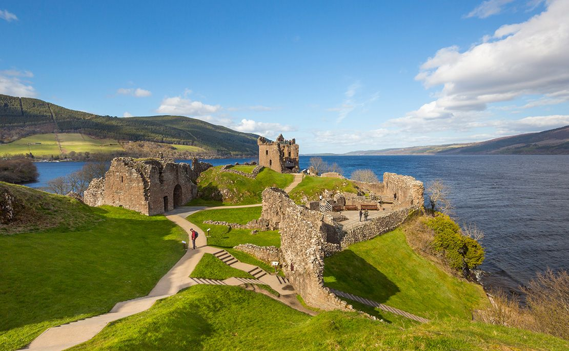

The Water Gate led down to Loch Ness. Access to the lake was key as sometimes roads would be impassable. And it gave access to fishing boats to off load their catch. Just north is the doocot – a circular structure of stones. It was the dove-grove where pigeons would have been kept.

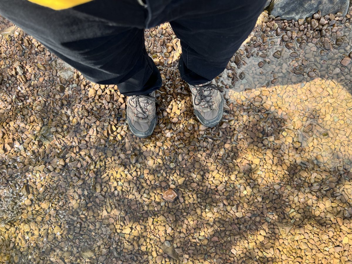
I went down to Loch Ness to at least walk in the waves. The water was really cold so bare feet was not in the plan. I called to Nessie but she was still sore after that St. Columba curse.

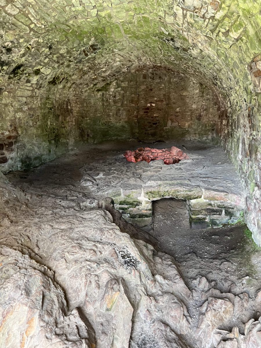
This room was used as a corn-drying kiln. Grain would be stored under the gate house. The food came from 4 farming communities located on the high ground outside the castle walls.

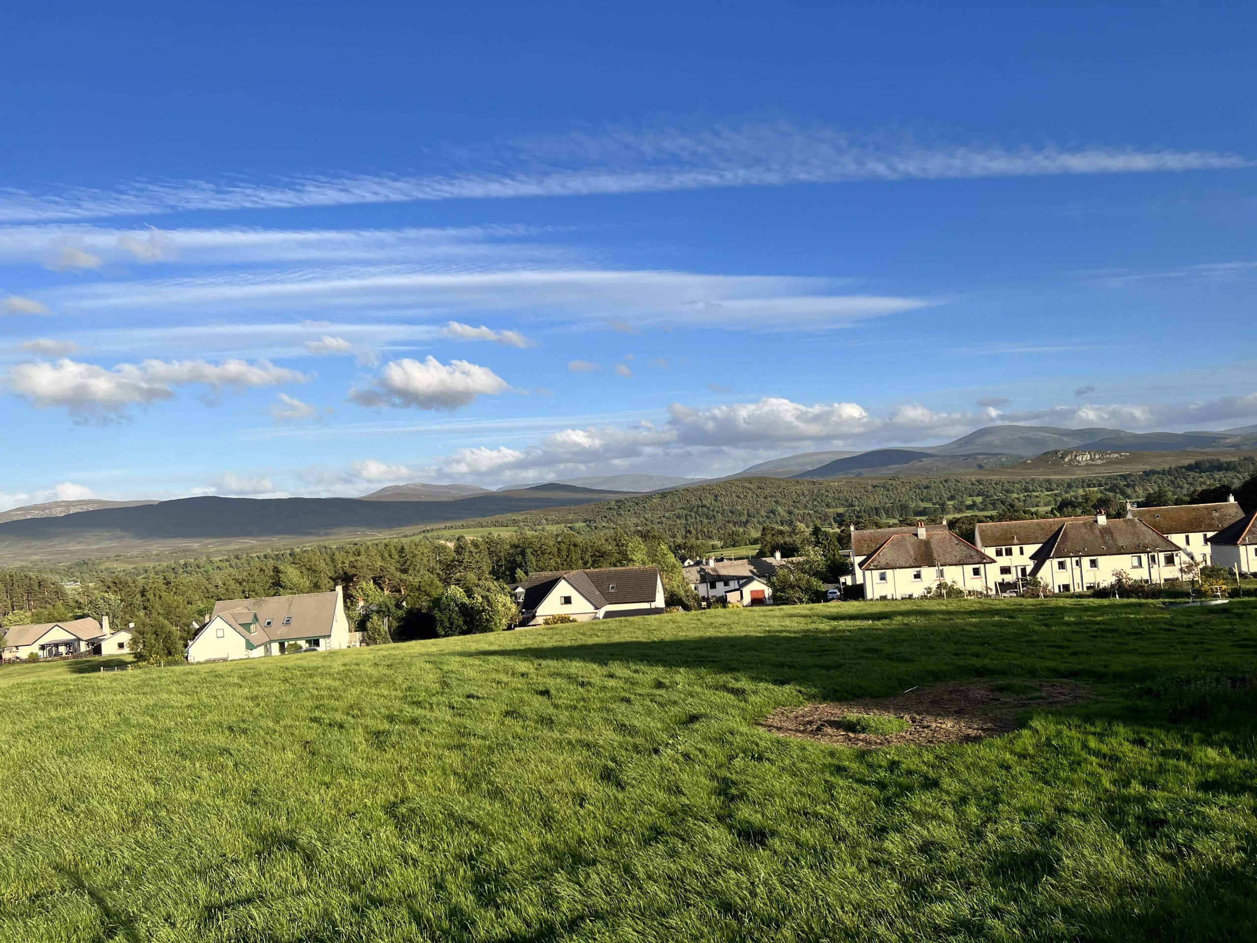
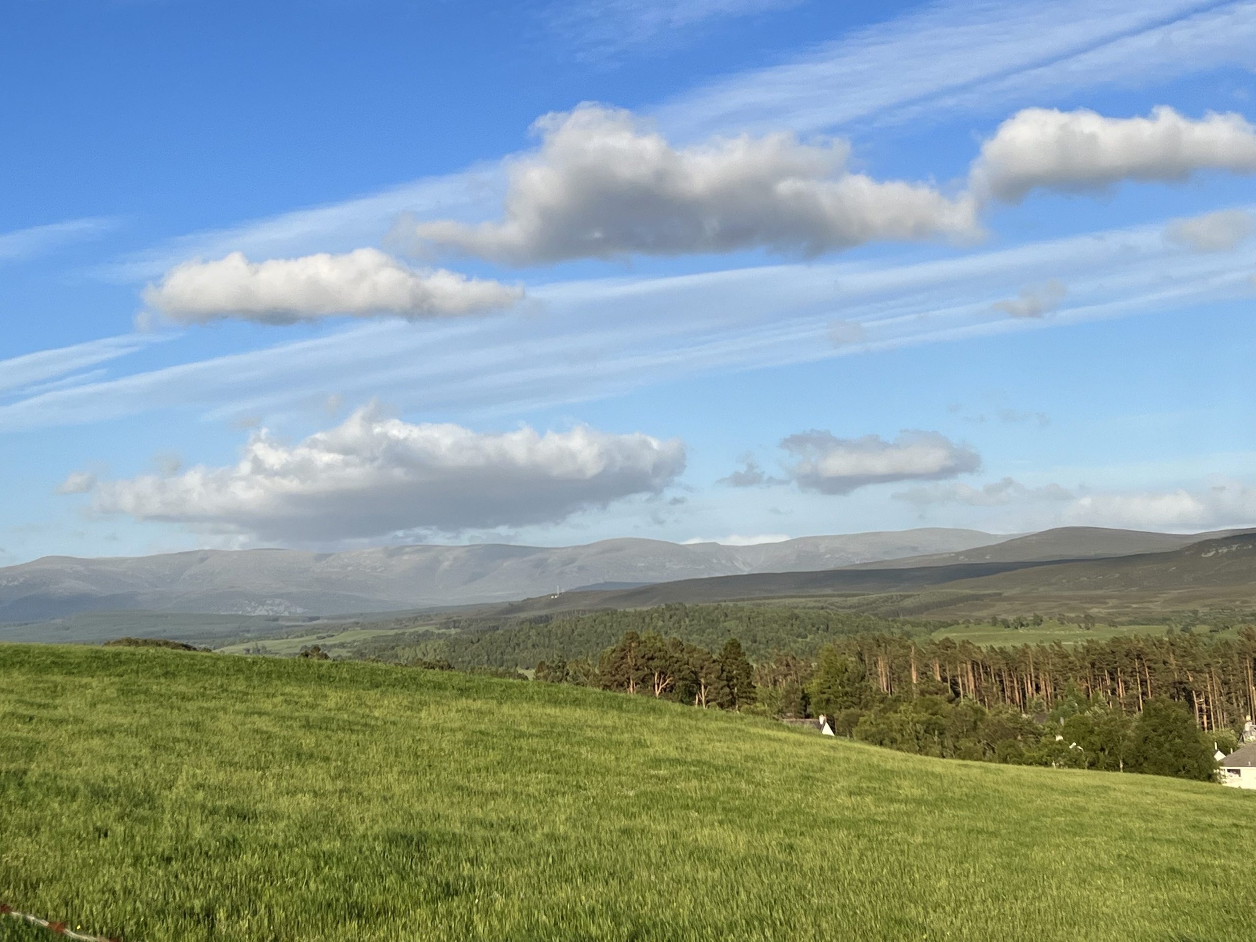
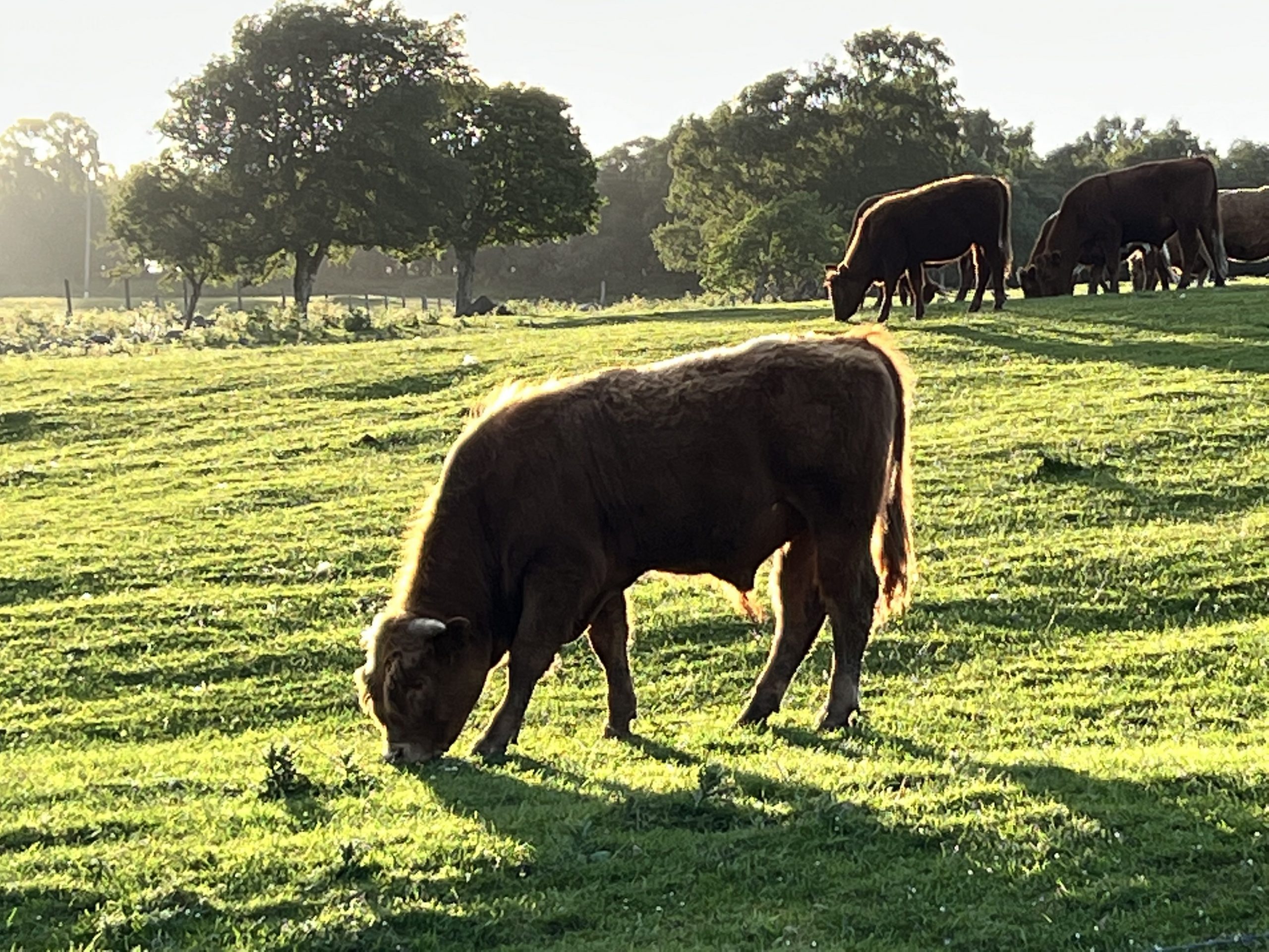
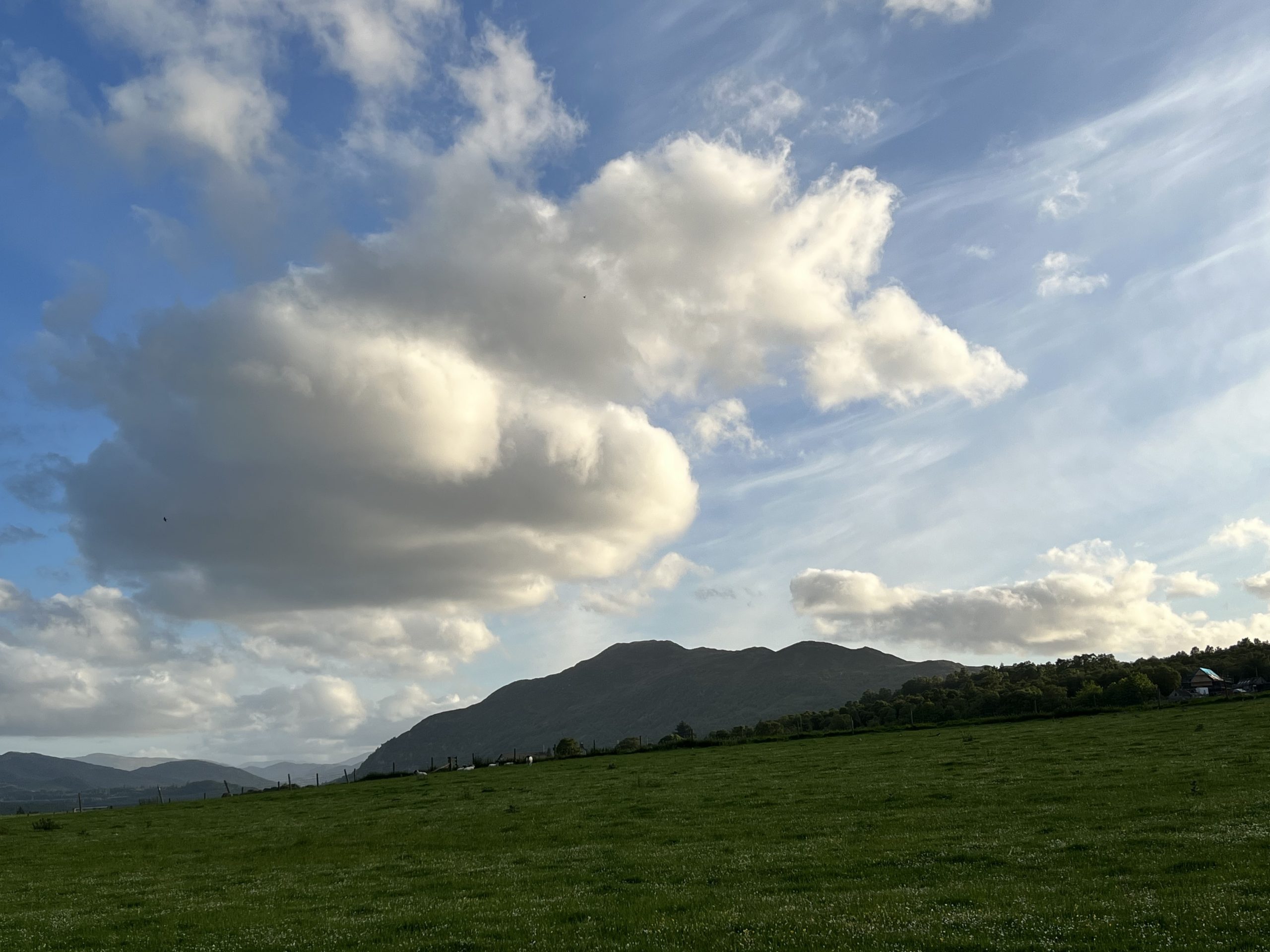
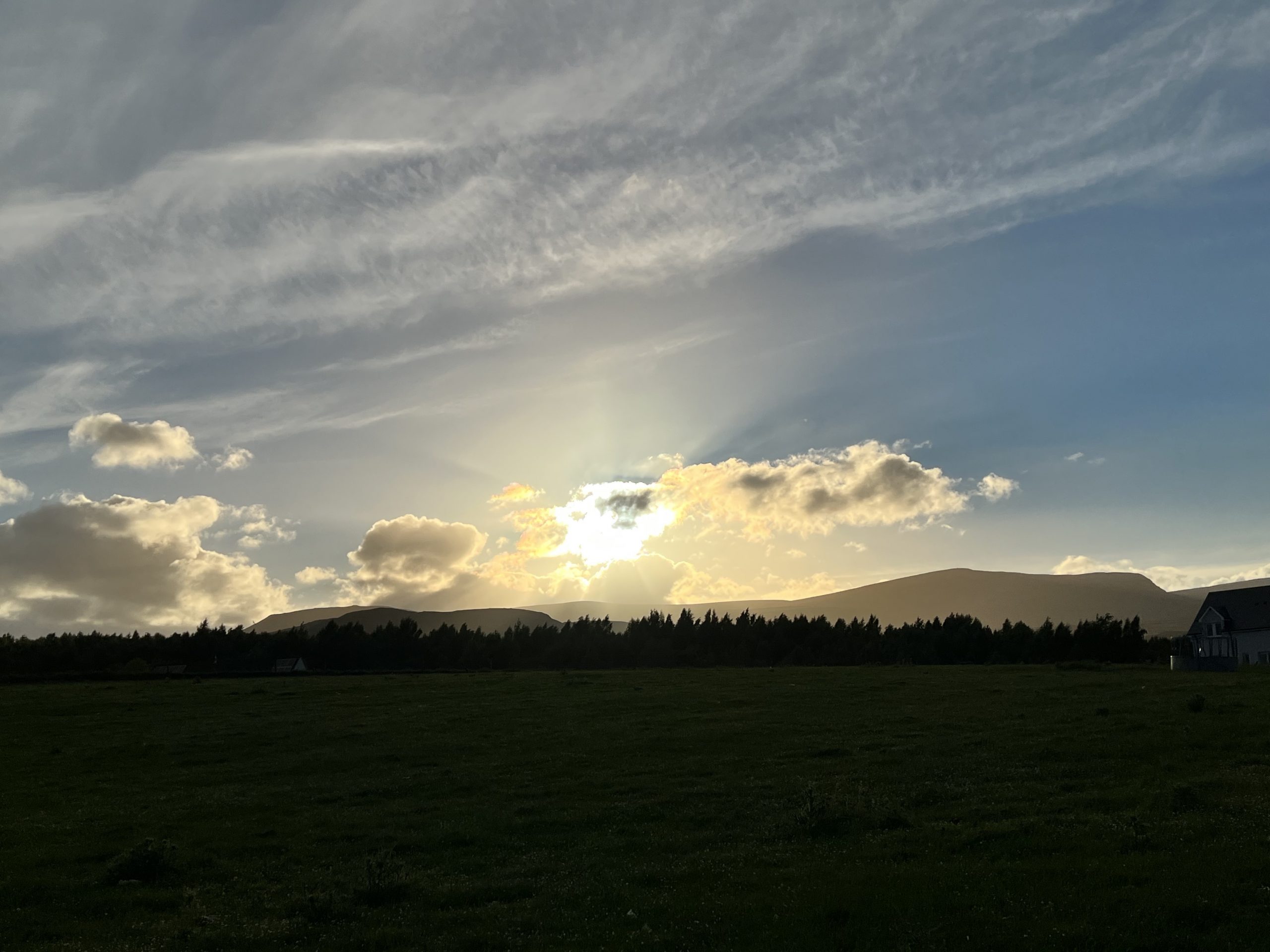
We got back to Newtonmore for the hotel dinner. After dinner I took a walk on one of their advertised trails. It led up to the hillside into a farming area. Hoping to see some coos – I met regular cows, sheep and horses. I managed to catch the sun going down over the Highlands.





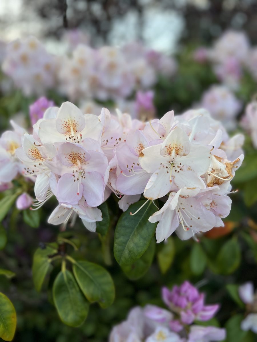
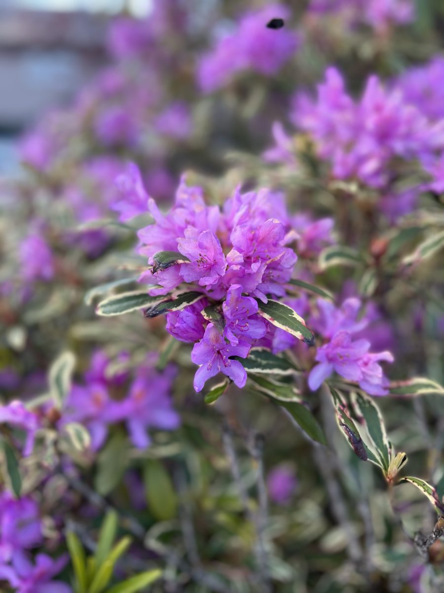
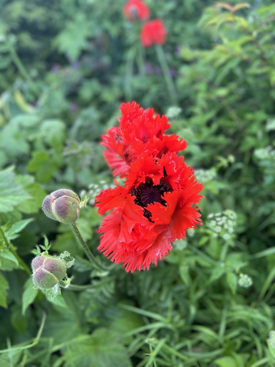
Walking back to the hotel, I passed by someone’s flower garden. After taking pictures, there was a tourist couple going to their BnB. She said to me that they also stopped to take pictures of the flowers. Nice image to have before going to bed.



Amazing!
Yes it was Inge. And we had such great weather. Not the Scotland I was expecting.