17 Years ago I moved to mid-town Toronto, the Yonge/Eglinton area. One of the main reasons was to be near the Beltline Trail. When I first walked the trail I fell in love with the “nature in urban” environment. Yes, it needed improvement, and they would come in the following years. But an 8 km trail that went from Allen Road to the Evergreen Brickworks was an experience I shared with all my dogs.
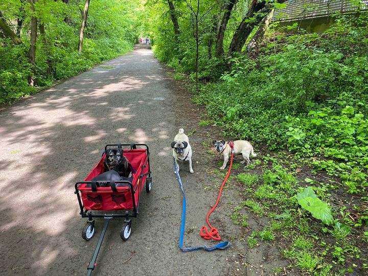
When they could no longer walk long distances, I had the cart. Raisin, Eve, Greta.
The Beltline trail is actually divided into 3 parts. The first section is west of Allen Road. I decided not to walk that part. The second is the Kay Gardner Beltline, which Eve and I are walking today. The 3rd is the Moore Ravine Beltline which we’ll do tomorrow.
I can only walk about a city block or 2 before the back pain starts. When I’m standing or walking, the arthritis in the lumbar vertebrae pushes against a nerve which causes the pain. When I sit, the spine is decompressed and the pain is relieved.
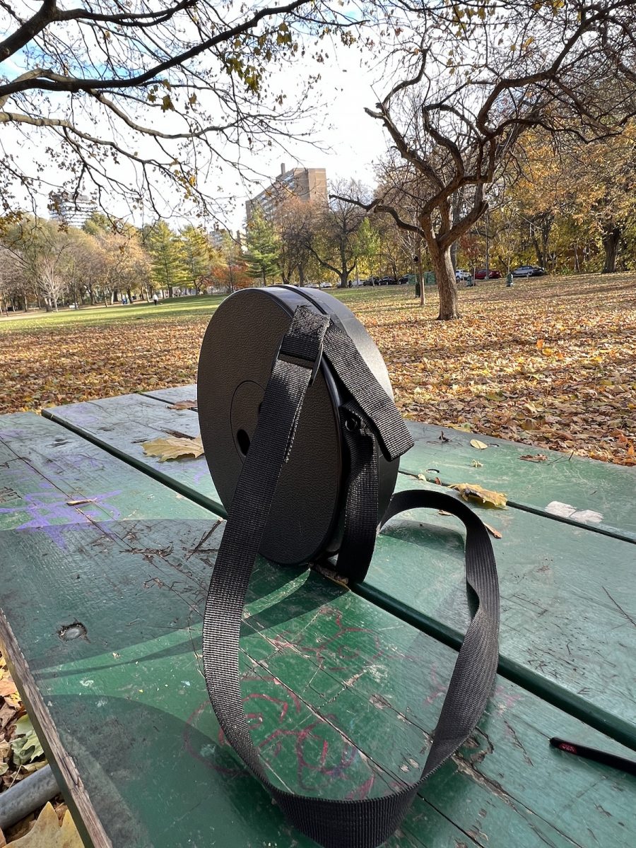
I got a stool that I could sit on for these walks. I knew that there were not many benches along the trail and this meant I could relieve the back before the pain started.
I love to walk. I explore and learn so much from the pedestrian lifestyle. You can tell this as you read my travels. Yes, I take the car to get to a destination. But, once there, I hoof about. Sadly, I don’t think I’ll be able to keep this up in the future. The stool I got in collapsible and has a strap so that I can carry it on my back. Hopefully this will allow me to continue my excursions.
On a side note, in order to burn the calories, I’ve been doing 1 hour lane swims, 3 times a week at the local pool. The back doctor says swimming is great for my condition.
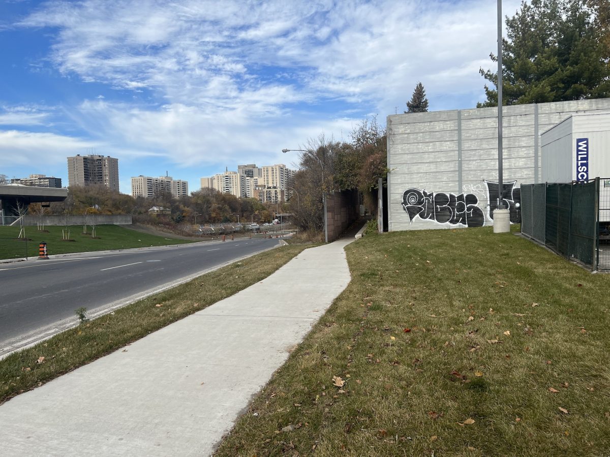
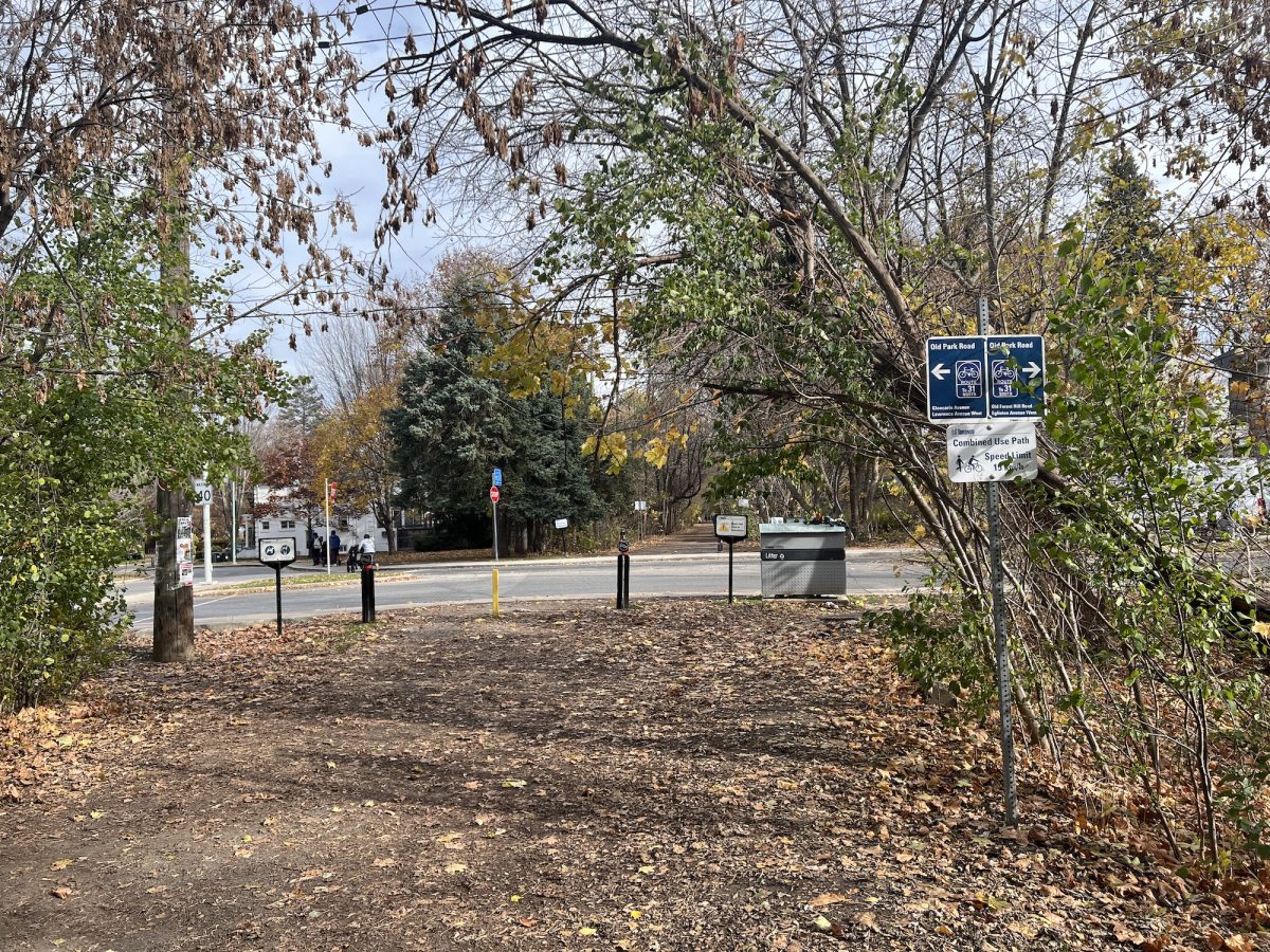
Now, let’s get to the walk. The entrance to the Kay Gardner Beltline is near Eglinton West Subway station. When you exit, walk east to the crosswalk. On the east side of the street is a sidewalk going north. The leads to the Beltline entrance.
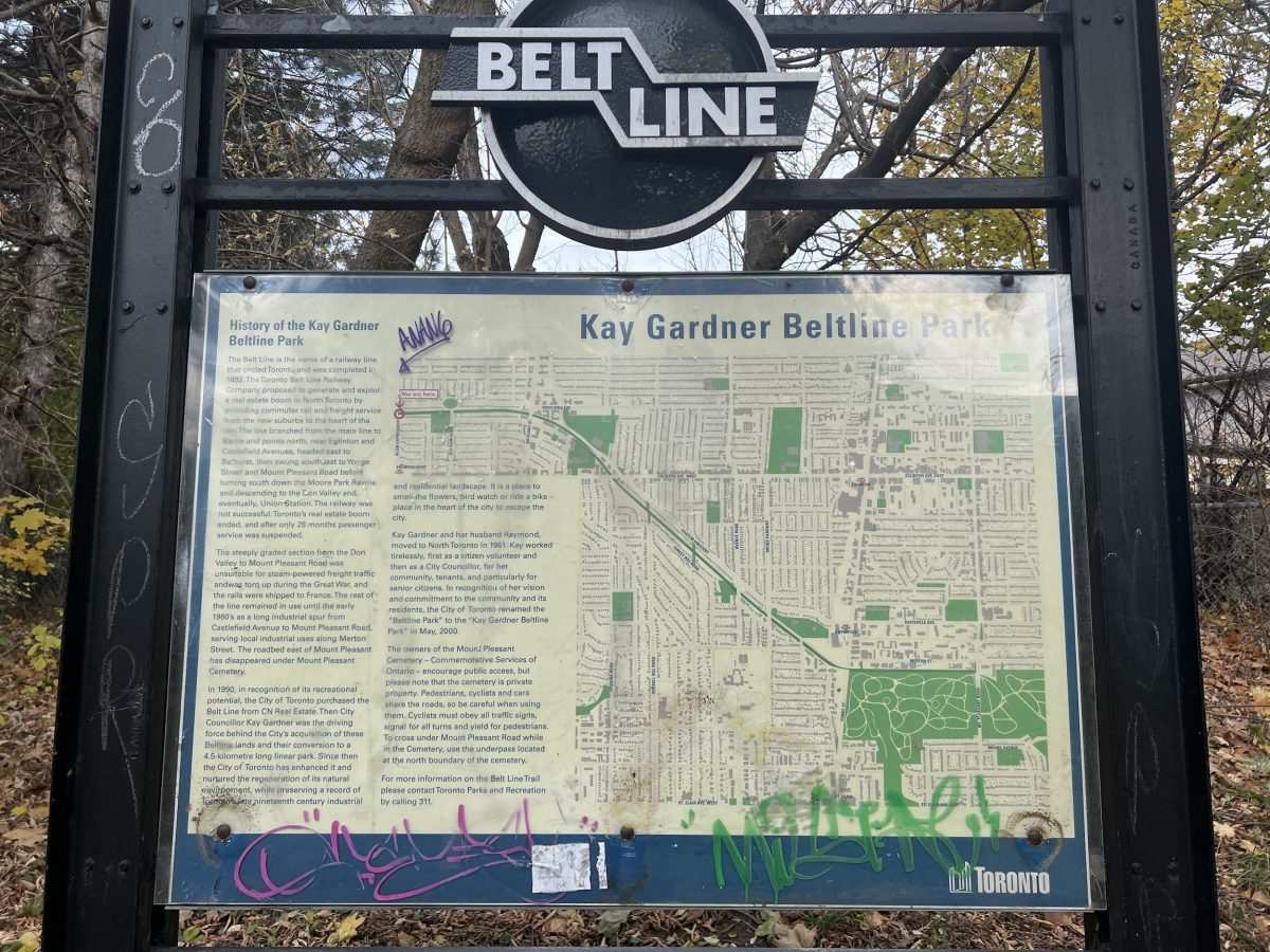
There is a big information sign explaining the history of the Beltline. The Toronto Belt Line Railway opened in 1892. It was a loop that started at Union Station, went north as far as Eglinton then west to Spadina, then south back to Union.
It was abandoned as not profitable. The CNR did a land swap with Toronto in the 70s and work on the trail began. It eventually became a multi-use trail where you will see pedestrians, strollers, joggers and cyclists. We are walking south-west because it is downhill.
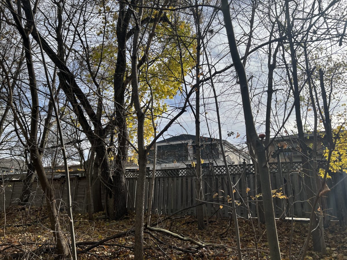
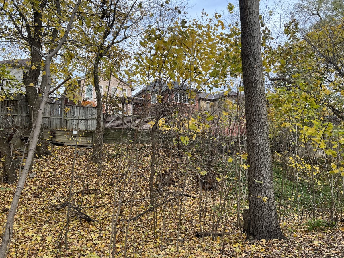
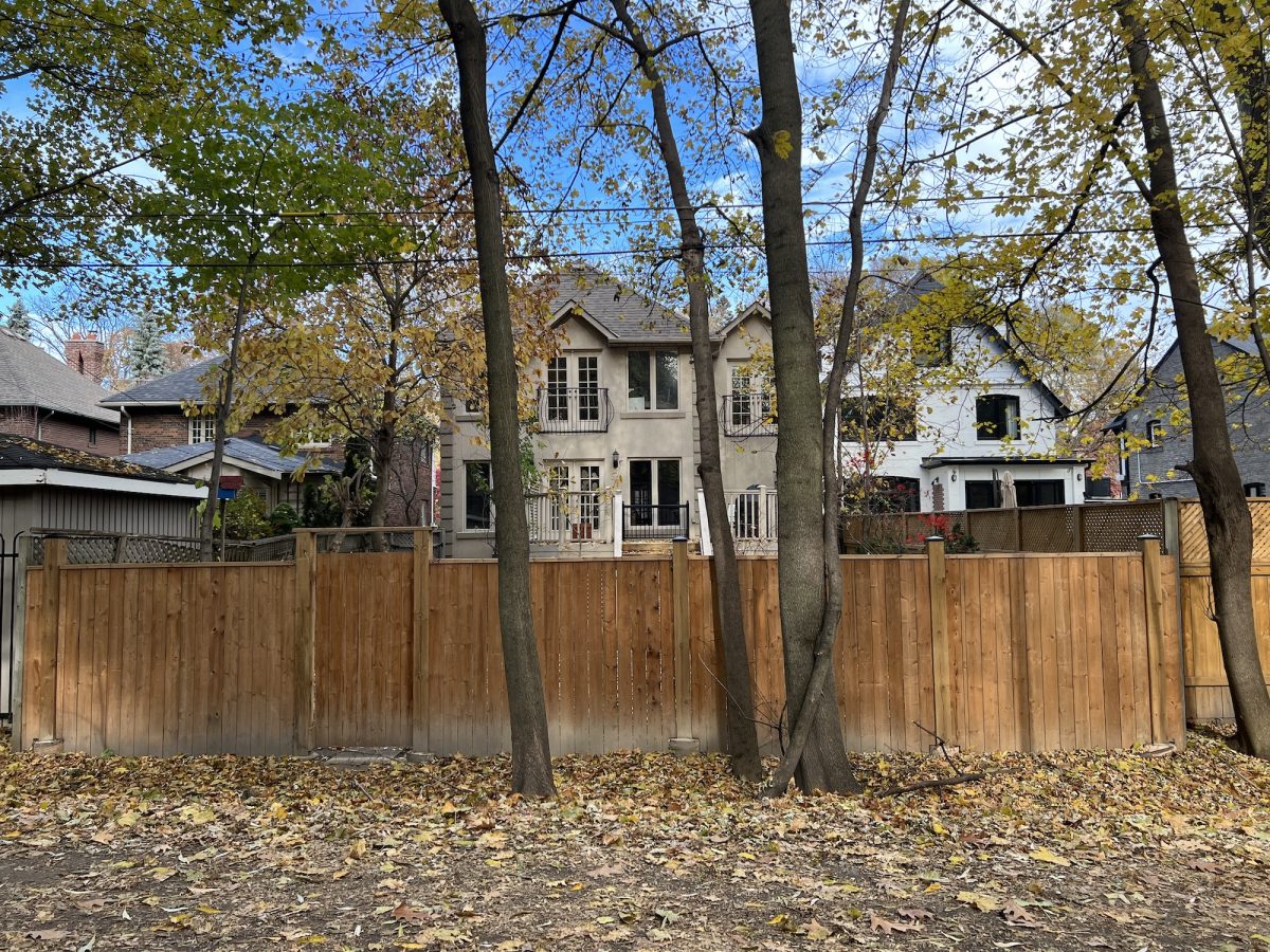
In the summer the houses are usually hidden by the foliage. Most don’t have gates leading to the trail which surprised me. Maybe it is for security reasons.
The trail crosses several main roads. This first one is a residential street. You have to watch the cars coming around the corner on the left. There is a stop sign but some drivers don’t always stop. When I first started walking here, the stop sign wasn’t there and I had to take extra precaution. There is a small parkette on the left where the nannies take their babies.
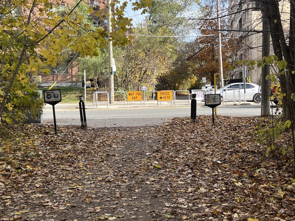
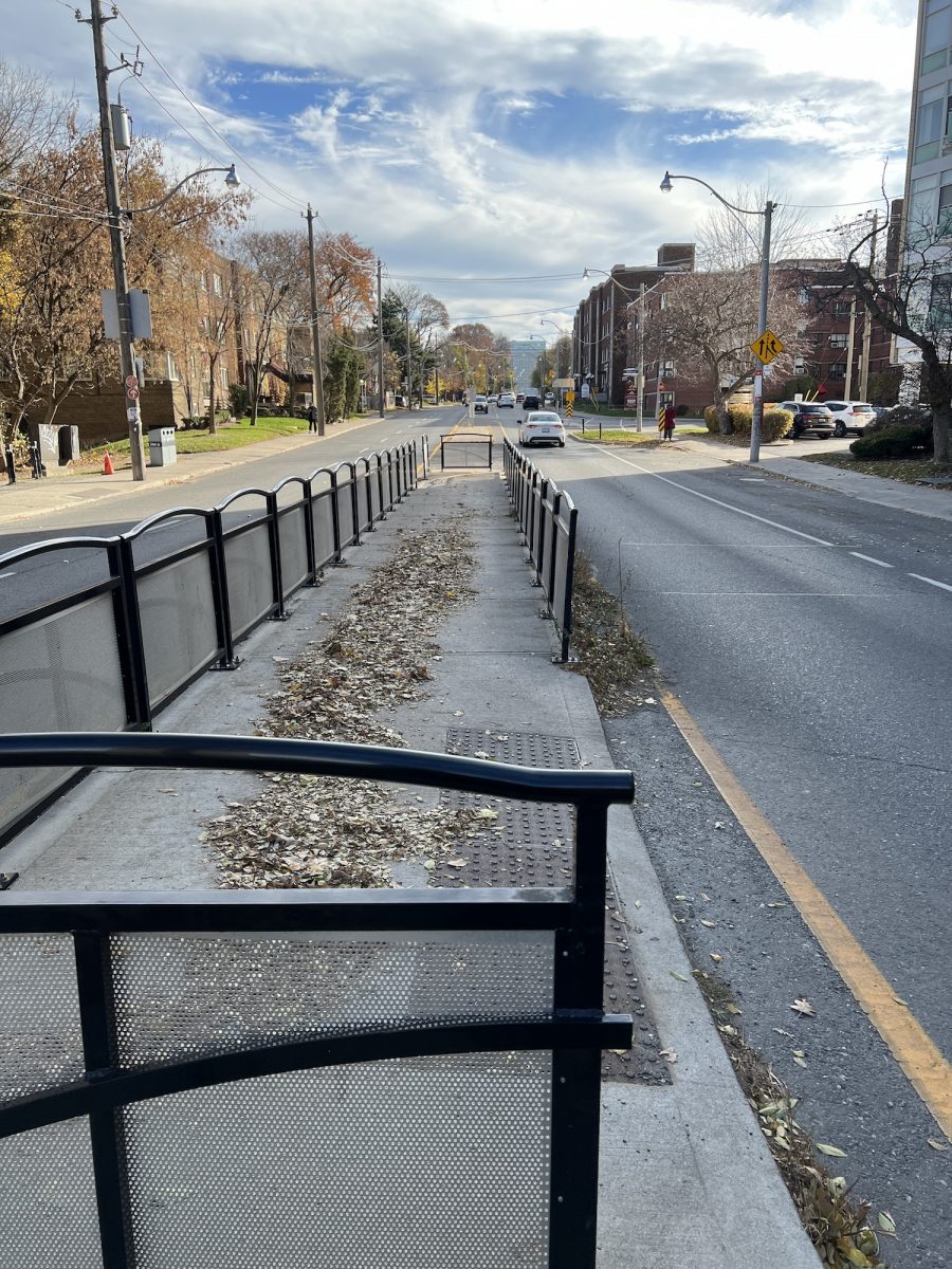
The next street crossing is Bathurst. This was the most dangerous crossing in the early years. I would watch as families would congregate on the sidewalk waiting for a clearing. There was a traffic light about 100 metres north that stopped traffic and gave people time to cross. After much complaining, and with the growing popularity of the trail, the city put in a protective divider.
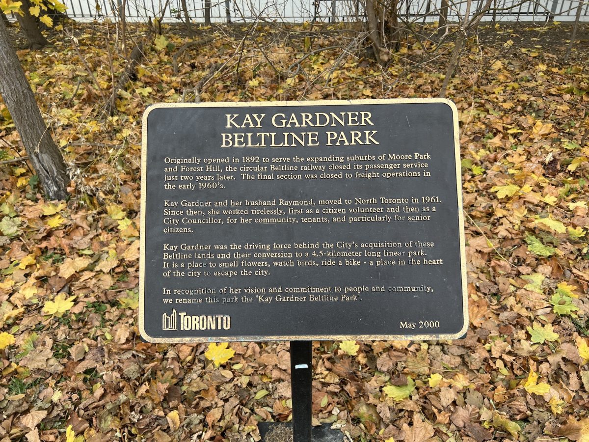
A memorial plaque in honour of Kay Gardner. Her commitment as a city councillor to establish the trail earned her this recognition.
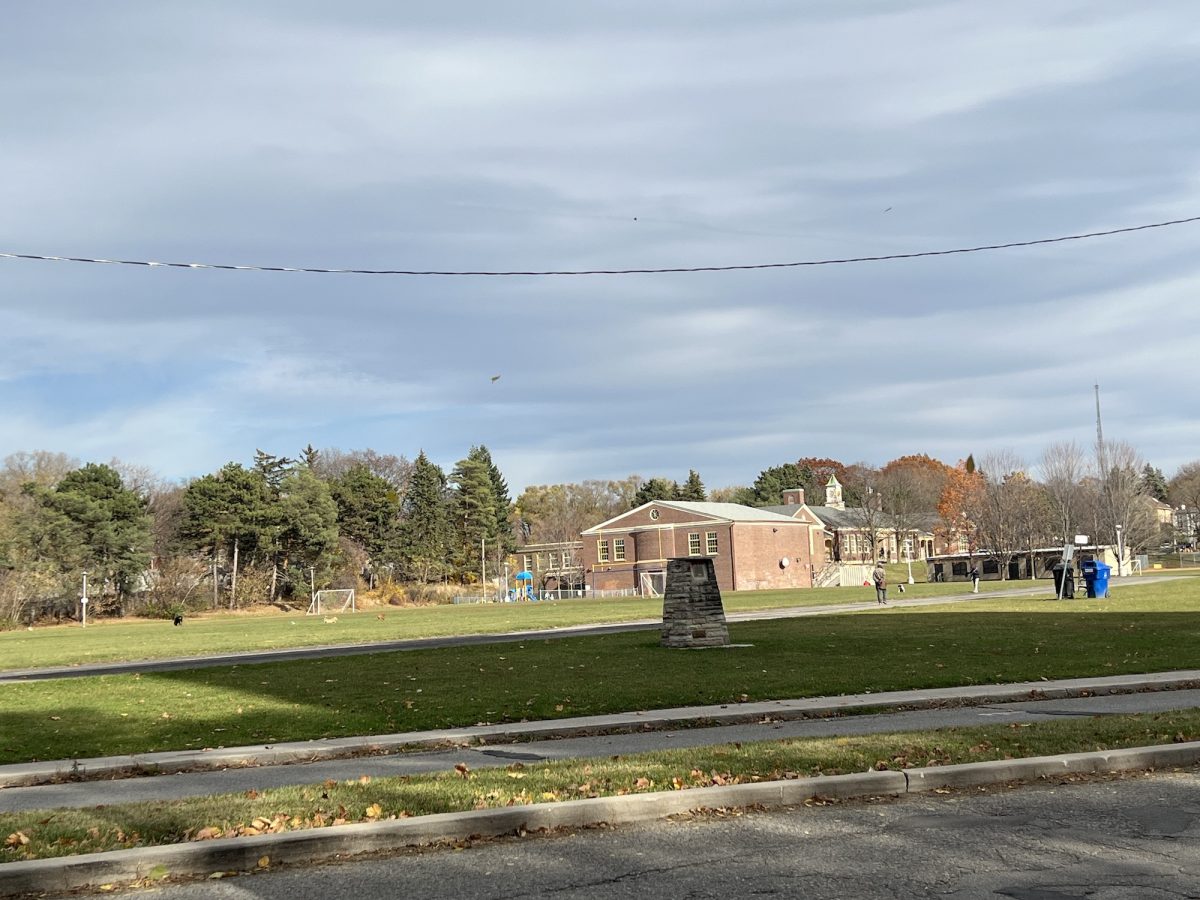
We get to Memorial Park with North Preparatory Jr. Public School in the background. When I first moved here, I would bring Dublin and Dante to this park from Eglinton Ave, then we would enter the trail and walk south. From this point the trail takes a southerly direction.
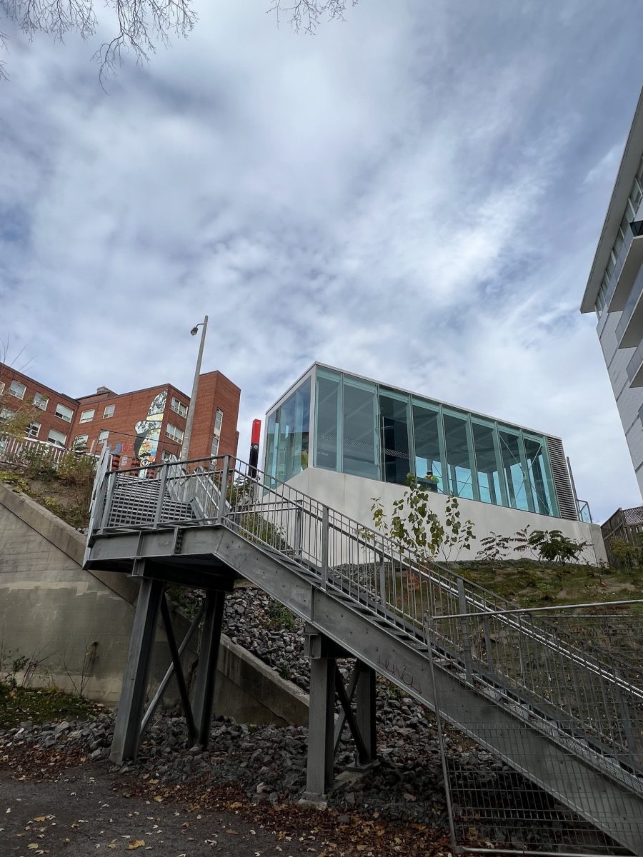
At that time these murals were new and celebrated the past and present of the area. This is the Eglinton Ave bridge. The Eglinton Crosstown is a light rail transit line, currently being built, that will run east/west across the city along Eglinton. When it was being planned, the neighbourhood wanted an entrance to the subway from the Beltline at this point.
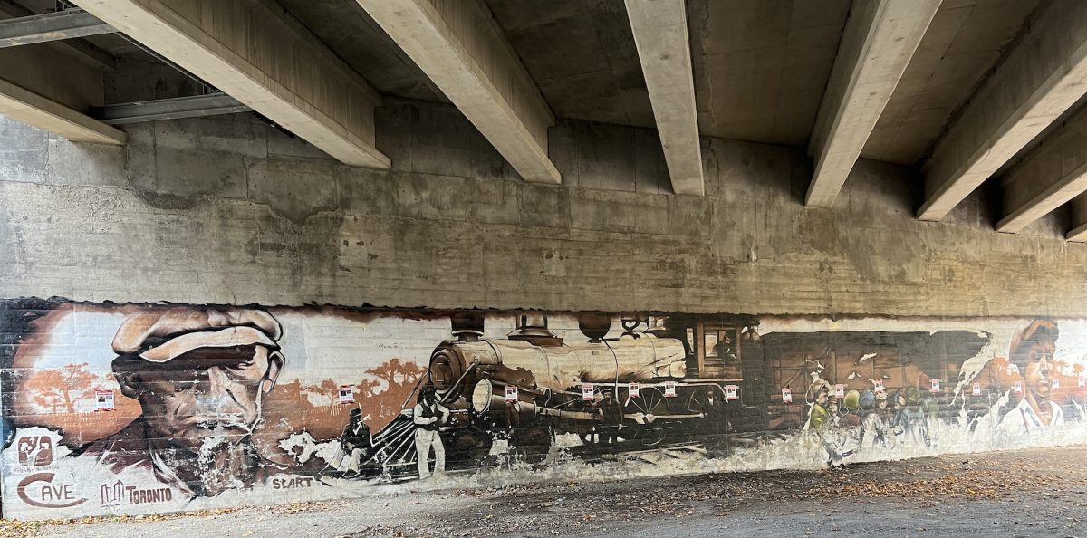
In the final Crosstown design, it was decided not to put in a station entrance at the Beltline level. Instead a new staircase was installed to the station entrance. Not very accessible for the mobility challenged.
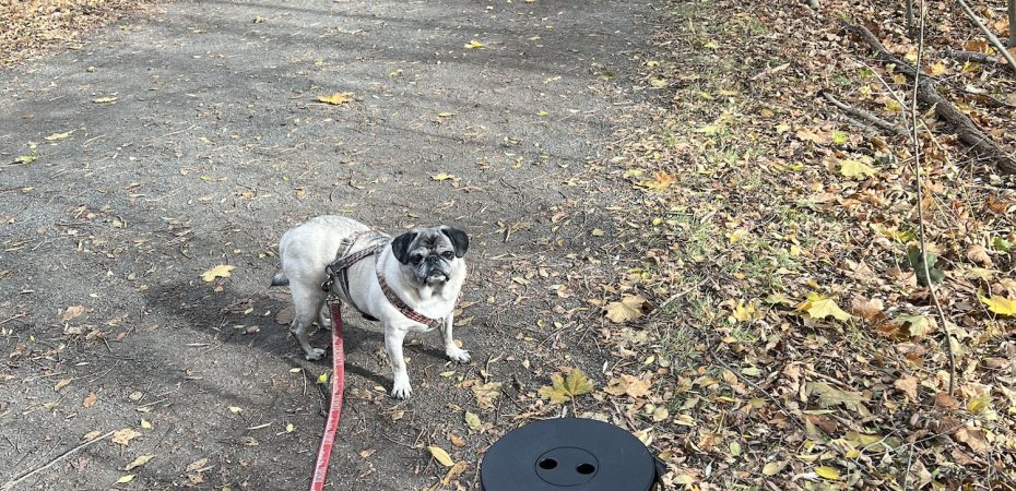
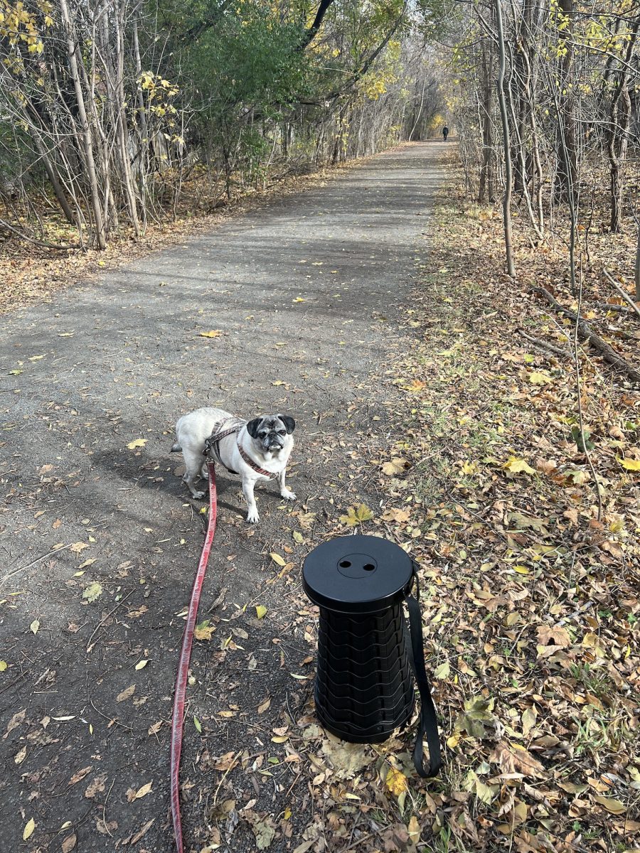
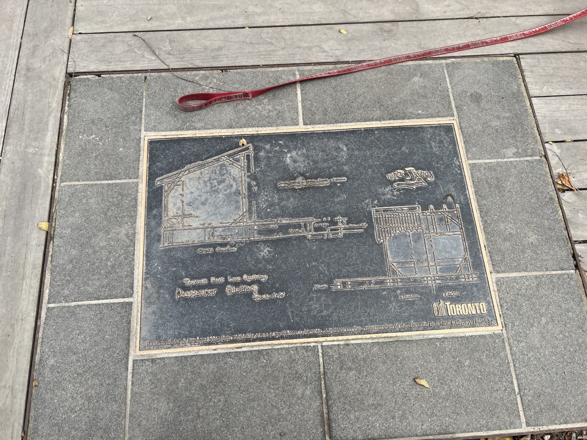
This was the site of the Eglinton Station of the Beltline Railway. The city is constructing commemorative stations where the stations were located in the 19th century. Gives me an opportunity to relax my back. I would prefer they spent the money on installing more simple benches but this was the improvement the city wanted.
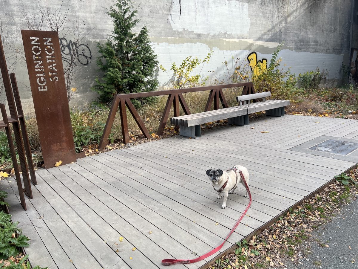
At this commemorative stop there is an engraving from the Toronto Archives of Walter Francis’ design for the station.
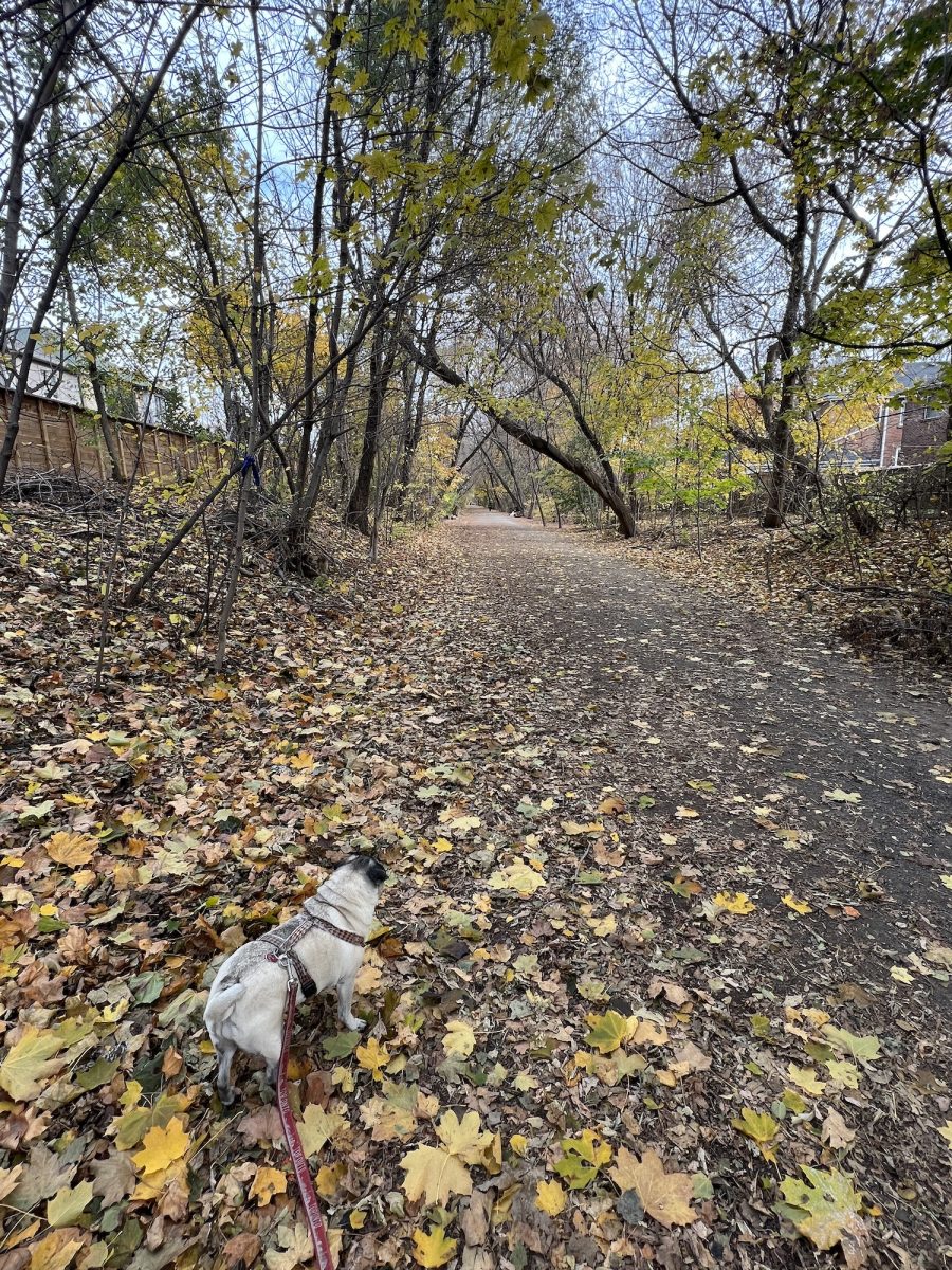
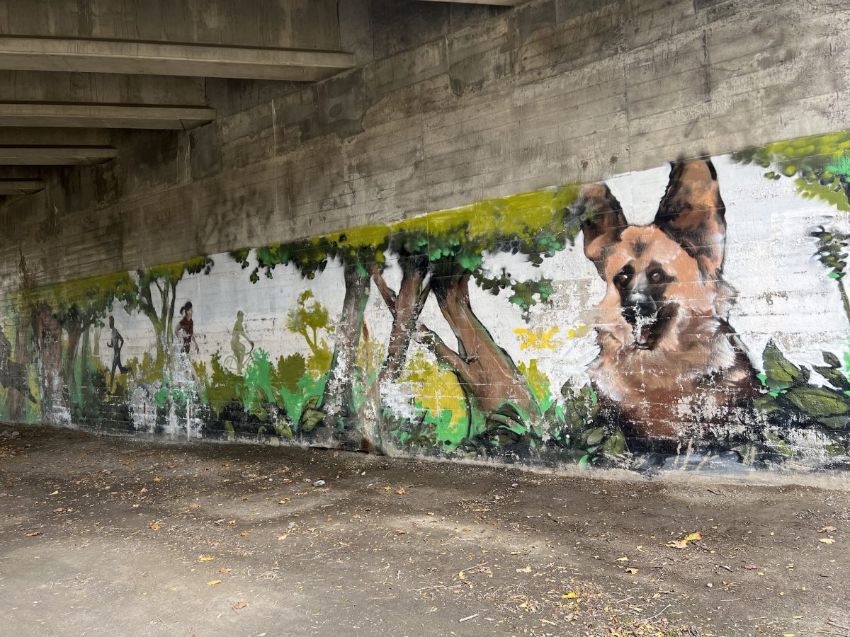
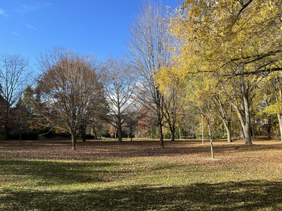
We are a little late in the year to catch the Fall colours. The trail is not maintained in the winter. People do walk it, creating a foot path in the snow but I don’t recommend it.
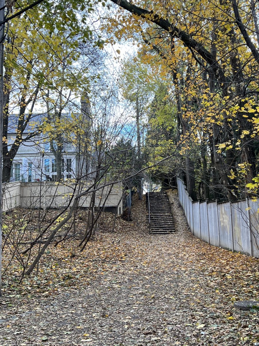
We come to an intersection with a stairwell on the west side going to Forest Hill.
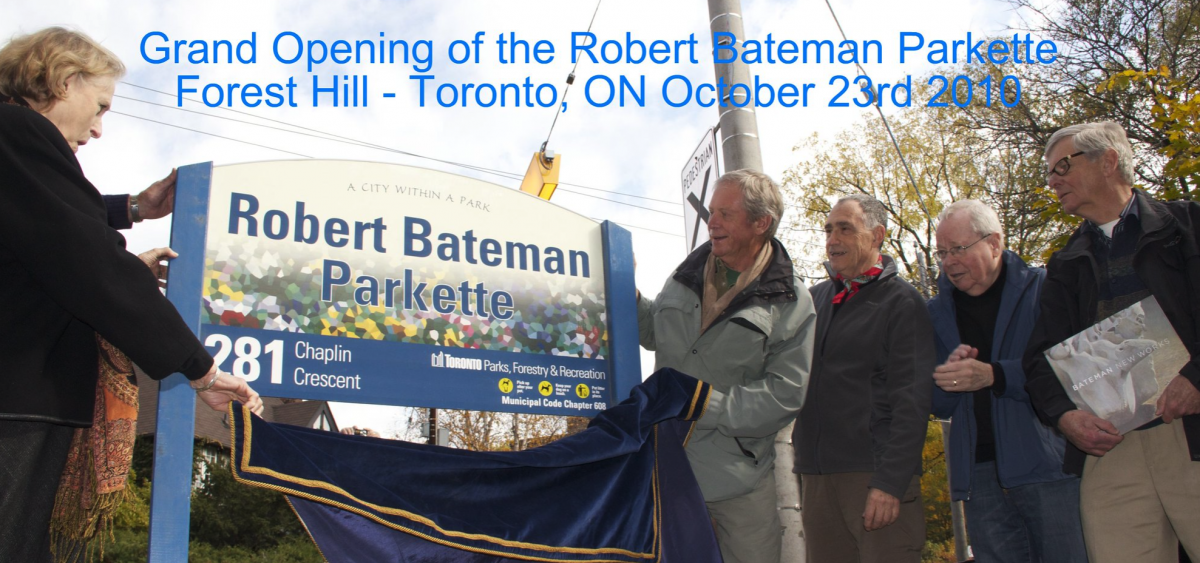
On the east side is a ramp going to Chaplin Crescent. However, at the top of the ramp is the Robert Bateman Parkette. The artist Robert Bateman lived in the area and often played here as a child.
It was declared on the 10th Anniversary of the Beltline.
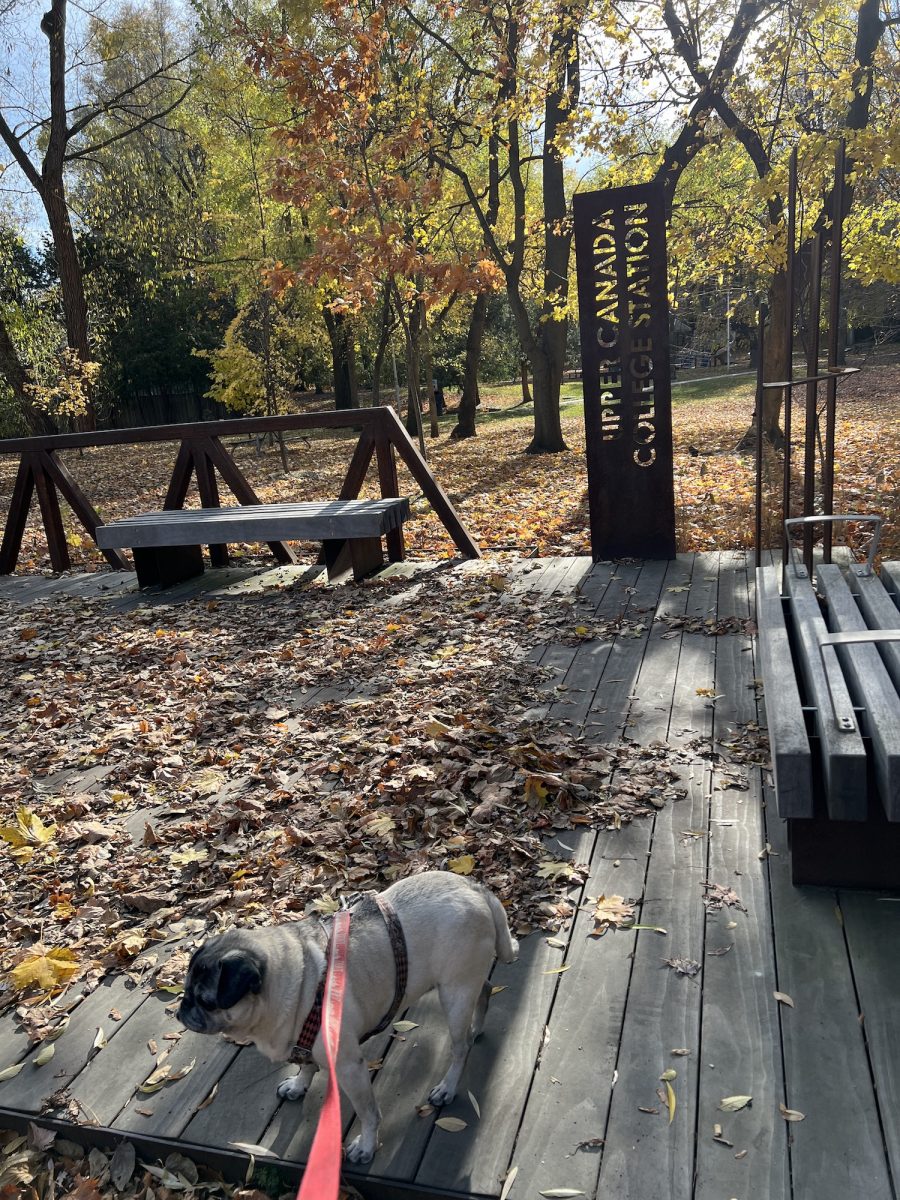
We come to Forest Hill Park, Avenue Road and the Upper Canada Railway Station. Using the Belt Line Railway, students could take the train from downtown to the college.
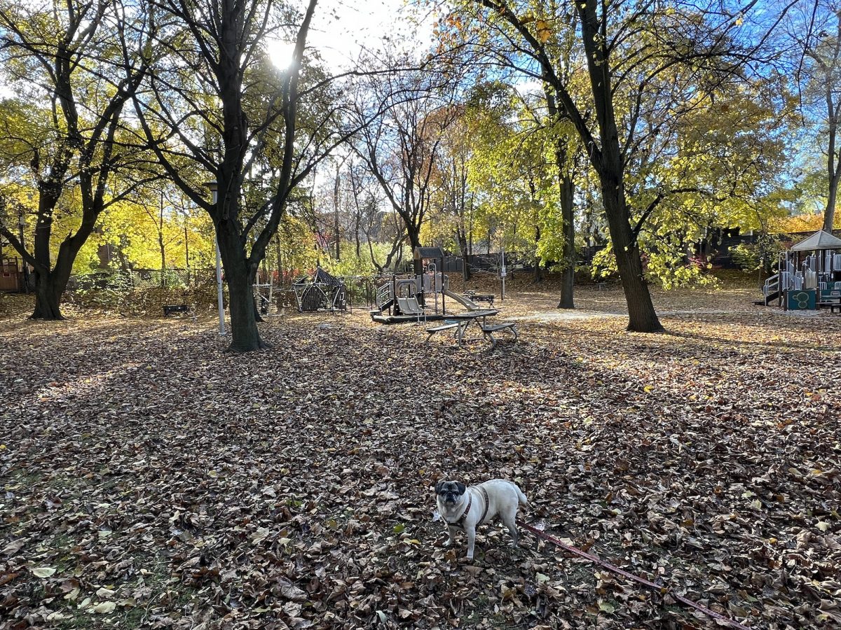
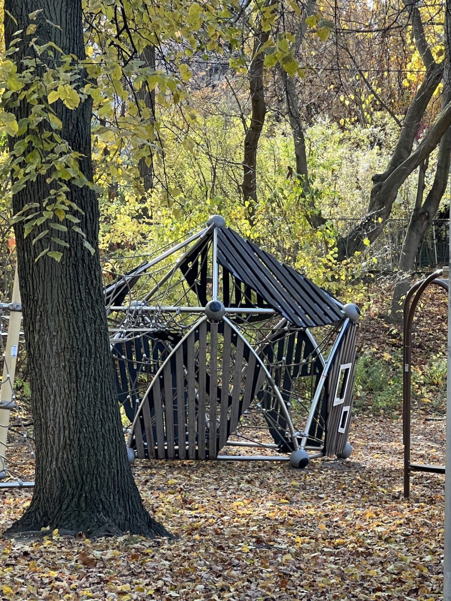
The park is a jewel nestled in the neighbourhood complete with a new playground.
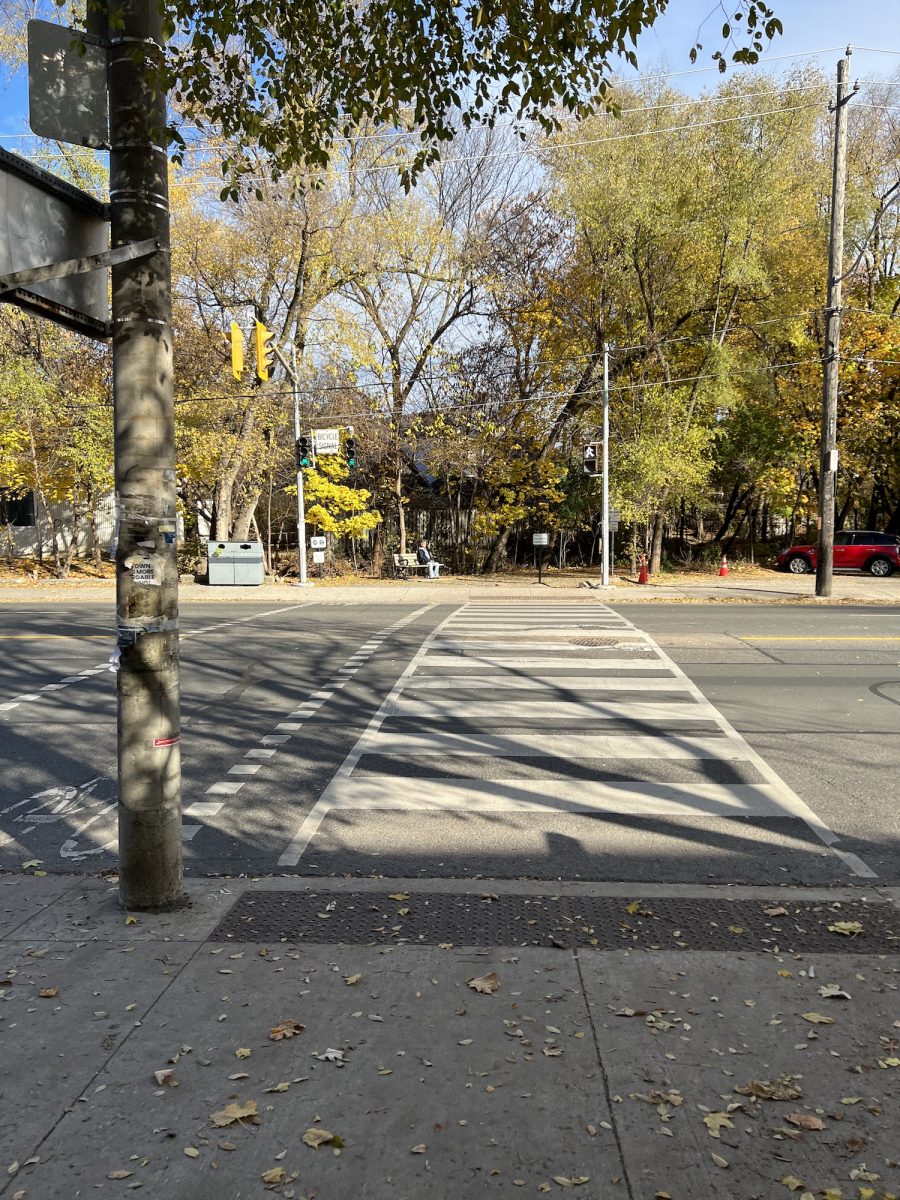
Crossing Avenue Road has been made easier with traffic lights. They cut the curbs so bikes and strollers would have an easier time getting on to the sidewalk. Both pedestrian and bicycle traffic lights were installed thanks to the efforts of the bicycling community.
Another short walk on the Beltline takes us to Oriole Parkway with a protected divider. These road pedestrian protections have been done over the past 10 years as a result of public pressure.
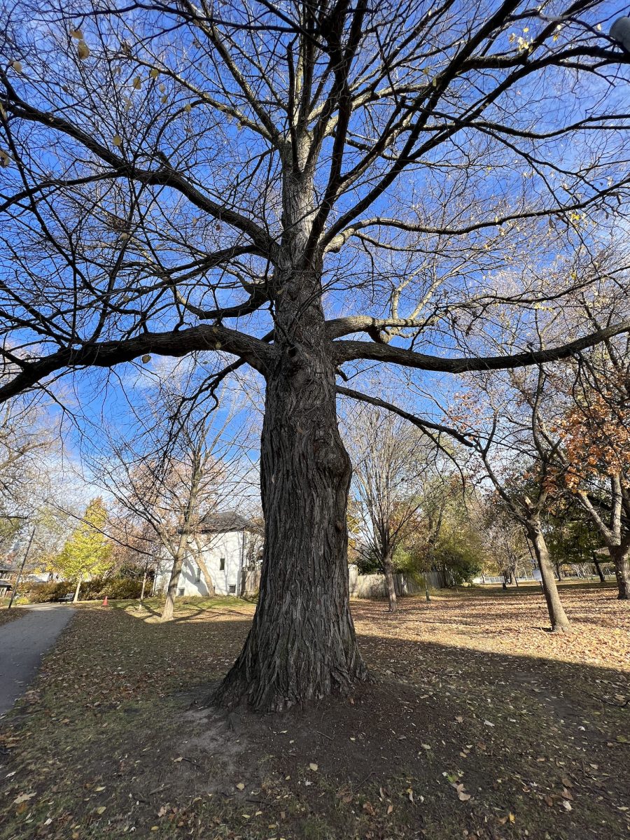
At this point I bring the walk to an end. I head into Oriole Park and greeted by this tree. It is beautiful in the summer. Eve and I sit in and enjoy a pleasant Fall day before heading home.
I had to take a lot of stops. It took about 2 hours to do this leg of the trail. I used to do it in 30 minutes.
Tomorrow, I will use this park as a starting point to continue south to the Evergreen Brickworks. I’ll see how the back pain goes but it may be my last walk.
I’m so sorry you are suffering with back pain Larry. I know how much you love exploring. I hope the doctors can give you something to help relieve the pain. It would be a terrible shame if you had to stop walking. You always find the most interesting places and I love seeing the photos of Eve going on the adventures with you. She is a very lucky pug. 🙂
Thanks Denise for the kind thoughts. I am grateful for a couple of things that I’ll mention in the next blog. I’m glad that this didn’t happen on the Go West road trip in June. I got to see a lot of Canada pain free. Also the back doctor says my case is mild. There are some people who can’t walk 10 metres without experiencing pain. The second Beltline walk wasn’t too bad. I think the exercises are helping.